Mullaghbawn
Mullaghbawn (/mʌləˈbɔːn/ mul-ə-BAWN or /mʌləˈbɑːn/ mul-ə-BAHN; from Irish: an Mullach Bán, meaning "the white hilltop"),[1][2] or Mullaghbane, is a small village and townland near Slieve Gullion in County Armagh, Northern Ireland. In the 2011 Census it had a population of 596.[3]
Mullaghbawn
| |
|---|---|
 Mullaghbawn Folk Museum | |
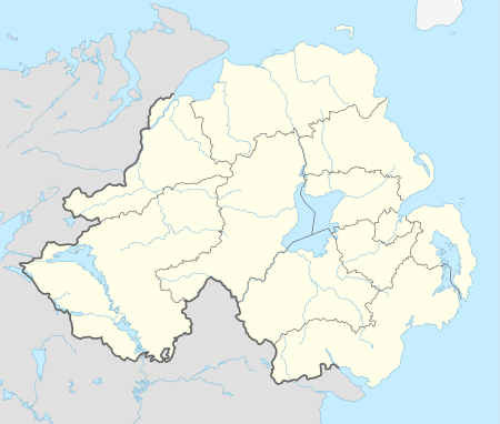 Location within Northern Ireland | |
| Population | 596 (2011) |
| Irish grid reference | H995191 |
| District | |
| County | |
| Country | Northern Ireland |
| Sovereign state | United Kingdom |
| Post town | NEWRY |
| Postcode district | BT35 |
| Dialling code | 028, +44 28 |
| UK Parliament | |
| NI Assembly | |
History
Mullaghbawn, along with the rest of South Armagh, would have been transferred to the Irish Free State had the recommendations of the Irish Boundary Commission been enacted in 1925.[4]
Places of interest
- Near Mullaghbawn, in Killeavy there is a ruined church with the grave of Saint Moninne (a local saint) in its churchyard.
- Ballykeel Dolmen is near Mullaghbawn at the western foot of Slieve Gullion. It is an outstanding example of a portal tomb. It is made up of two portal stones with a sill between and a lower backstone supporting a huge capstone.[5]
- Cashel Lake, a group of lakes on the outskirts of Mullaghbawn.
- The South Armagh Memorial Garden in Mullaghbawn, created in 2010, commemorates 24 Provisional IRA volunteers who died during the Troubles.
Culture and sport
Mullaghbawn Folk Museum is a traditional two-roomed thatched farm house and outbuildings, restored by the Mullaghbawn Historical Group during the 1970s and filled with artefacts depicting the lifestyles of the people of the Ring of Gullion in the last century.
Tí Chulainn is a cultural heritage centre, with accommodation and function rooms, set at the bottom of Slieve Gullion.[6]
The local GAA club is Mullaghbawn Cúchullain's GFC (Cumann Chú Chullain, An Mullach Bán).[7]
People
- Len Graham, Irish traditional singer and song collector, lives in the village with his wife Pádraigín Ní Uallacháin, also a singer.
- Paddy O'Hanlon (1944-2009), Northern Ireland Civil Rights Association (NICRA) activist and nationalist politician, lived most of his life in Mullaghbawn.
- Una Quinn, Brazilian Jiu Jitsu Purple Belt, resides in Mullaghbawn with her family after recently winning the IBJJF Master 1 European Championship and the New York open.
Neighbouring townlands
- Aughanduff
- Carrickaldreen
- Carrive
- Lathbirget
- Lislea
- Shanroe
- Tullymacrieve
References
- Placenames NI Archived 2011-07-27 at the Wayback Machine
- Placenames Database of Ireland
- See Census 2011 - Headcount and Household Estimates for Settlements published by the Northern Ireland Statistics and Research Agency, available at http://www.nisra.gov.uk/census/2011/results/settlements.html
- "Irish Boundary Commission Report". National Archives. 1925. p. 130.
- "Ballykeel Dolmen" (PDF). Environment and Heritage Service NI - State Care Historic Monuments. Retrieved 7 November 2011.
- "Venue Details - Ti Chulainn". Adapt NI. Archived from the original on 24 July 2011. Retrieved 18 October 2009.
- Armagh GAA website Archived 2012-12-19 at the Wayback Machine
Links
