Land's End Plantation (Stonewall, Louisiana)
The Land's End Plantation in Stonewall, Louisiana, was established in 1835 by Colonel Henry and Ben Marshall, signer of the Louisiana Ordinance of Secession and the constitution of the Confederate States of America. The house, built in 1857, was used as a hospital following the Battle of Mansfield in 1864.[2][3][4]
Land's End Plantation | |
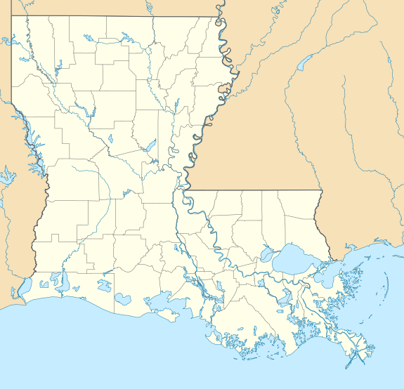  | |
| Location | End of Parish Road 793, 0.5 miles (0.80 km) north of Red Bluff Road, about 5 miles (8.0 km) southeast of Stonewall |
|---|---|
| Nearest city | Stonewall, Louisiana |
| Coordinates | 32°14′50″N 93°44′49″W |
| Area | 200 acres (81 ha) |
| Built | 1835 |
| Architectural style | Greek Revival |
| NRHP reference No. | 72001453[1] |
| Added to NRHP | April 26, 1972 |
The plantation house, along with a 200 acres (81 ha) area comprising several buildings, was listed on the National Register of Historic Places on April 26, 1972.[1]
The plantation house was completely destroyed by fire in 1989.[5]
References
- "National Register Information System". National Register of Historic Places. National Park Service. November 2, 2013.
- Louisiana Department of Culture, Recreation and Tourism. "Land's End Plantation Historical Marker".
- "Land's End Plantation" (PDF). State of Louisiana's Division of Historic Preservation. Retrieved May 3, 2018. with three photos
- Henry F. and Josephine C. Means (July 14, 1971). "National Register of Historic Places Inventory/Nomination Form: Land's End Plantation". National Park Service. Retrieved May 3, 2018. With three photos from 1971.
- "The Historic New Orleans Collection Quarterly" (PDF). XIII (1). Winter 1995. p. 11. Retrieved May 3, 2018.
Municipalities and communities of DeSoto Parish, Louisiana, United States | ||
|---|---|---|
Parish seat: Mansfield | ||
| City |  | |
| Towns | ||
| Villages | ||
| CDPs | ||
| Other unincorporated communities | ||
This article is issued from Wikipedia. The text is licensed under Creative Commons - Attribution - Sharealike. Additional terms may apply for the media files.