Korozluky
Korozluky (German: Kolosoruk) is a village and municipality (obec) in Most District in the Ústí nad Labem Region of the Czech Republic.
Korozluky | |
|---|---|
Municipality | |
 The village seen from the north | |
 Flag  Coat of arms | |
 Location in Most District | |
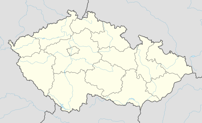 Korozluky Location in the Czech Republic | |
| Coordinates: 50°28′42″N 13°43′28″E | |
| Country | |
| Region | Ústí nad Labem |
| District | Most |
| Area | |
| • Total | 6.38 km2 (2.46 sq mi) |
| Elevation | 235 m (771 ft) |
| Population (2006) | |
| • Total | 158 |
| • Density | 25/km2 (64/sq mi) |
| Postal code | 434 01 |
| Website | http://www.korozluky.cz/ |
The municipality covers an area of 6.38 square kilometres (2.46 sq mi), and has a population of 158 (as at 28 August 2006).
Korozluky lies approximately 7 kilometres (4 mi) south-east of Most, 31 km (19 mi) south-west of Ústí nad Labem, and 66 km (41 mi) north-west of Prague.
This article is issued from Wikipedia. The text is licensed under Creative Commons - Attribution - Sharealike. Additional terms may apply for the media files.