Keanae, Hawaii
Keʻanae is an unincorporated community in Maui County on the island of Maui in the U.S. state of Hawaii. Keʻanae is a peninsula known best for being one of Hawaii's major taro farm growing regions. Keʻanae shares the zip code of 96708 with Haʻikū. The peninsula was originally made from lava. This lava originated from Haleakala Crater.[1] The area currently attracts photographers and fisherman from all around the world. Although Keʻanae is known for its scenic peninsula, it is dangerous to swim along the shore. It is dangerous as a result of its sharp lava rocks.[2]
Keʻanae, Hawaii | |
|---|---|
 | |
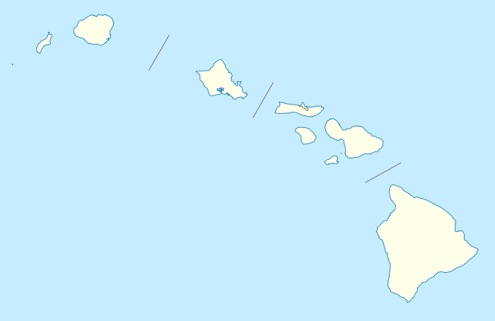 Keʻanae, Hawaii Location within the state of Hawaii | |
| Coordinates: 20°51′7″N 156°8′17″W | |
| Country | United States |
| State | Hawaii |
| County | Maui |
| Time zone | UTC-10 (Hawaii-Aleutian (HAST)) |
| • Summer (DST) | UTC-9 (HADT) |
| ZIP codes | 96713 |
Near Keʻanae is an old, stone church. This church was built in 1856 and is one of a few buildings left after the tsunami in 1946. Twenty four people were killed in the tsunami.[3]
References
- Shute, Megan (2019-01-16). "Visit The Humble Hawaiian Village Nestled On Top Of A Peninsula Made From Lava". OnlyInYourState. Retrieved 2020-02-22.
- LLC, Hawaii Web Group. "Ke'anae Peninsula | The Road to Hana sights to see". www.mauiinformationguide.com. Retrieved 2020-02-22.
- LLC, Hawaii Web Group. "Ke'anae Peninsula | The Road to Hana sights to see". www.mauiinformationguide.com. Retrieved 2020-02-22.
Islands, municipalities, and communities of Maui County, Hawaii, United States | ||
|---|---|---|
| CDPs | 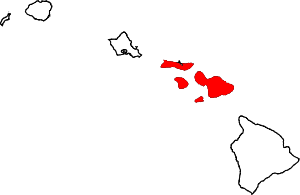 Map of Hawaii highlighting Maui County | |
| Unincorporated communities | ||
| Footnotes | ‡This populated place also has portions in an adjacent county or counties | |