Hoʻolehua, Hawaii
Hoʻolehua (also spelled Hoolehua) is an unincorporated community on the island of Molokaʻi in Maui County, Hawaii, United States. It lies just off Hawaii Route 460, next to the Molokai Airport.[1] Its elevation is 620 feet (189 m). Because the community's name has been spelled multiple ways, the Board on Geographic Names officially designated it "Hoʻolehua" in 2003.[2] Although it is unincorporated, it has a post office, with the ZIP code of 96729.[3]
Hoʻolehua, Hawaii | |
|---|---|
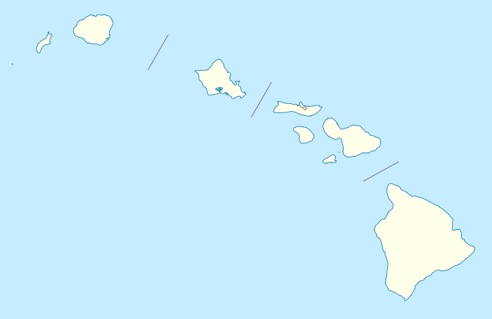 Hoʻolehua, Hawaii Location within the state of Hawaii | |
| Coordinates: 21°10′16″N 157°4′17″W | |
| Country | United States |
| State | Hawaii |
| County | Maui |
| Elevation | 620 ft (190 m) |
| Time zone | UTC-10 (Hawaii-Aleutian (HAST)) |
| ZIP codes | 96729 |
| GNIS feature ID | 359414 |
References
- Rand McNally. The Road Atlas '08. Chicago: Rand McNally, 2008, p. 30.
- U.S. Geological Survey Geographic Names Information System: Hoʻolehua, Hawaii, Geographic Names Information System, 2003-09-30. Accessed 2008-04-08.
- Zip Code Lookup
Islands, municipalities, and communities of Maui County, Hawaii, United States | ||
|---|---|---|
| CDPs | 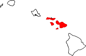 Map of Hawaii highlighting Maui County | |
| Unincorporated communities | ||
| Footnotes | ‡This populated place also has portions in an adjacent county or counties | |
This article is issued from Wikipedia. The text is licensed under Creative Commons - Attribution - Sharealike. Additional terms may apply for the media files.