ʻUalapuʻe, Hawaii
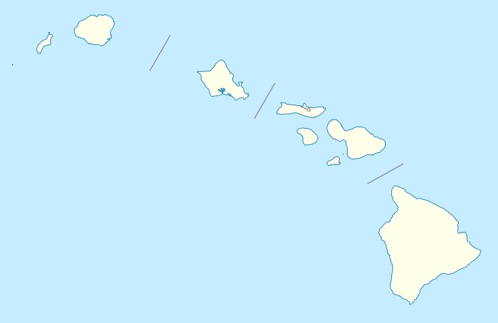
Ualapue (Hawaiian: ʻUalapuʻe) is an unincorporated community and census-designated place on the island of Molokaʻi in Maui County, Hawaii, United States. Its population was 425 as of the 2010 census.[1] The community is located along Hawaii Route 450 on the southeast coast of the island of Molokaʻi. Ualapue does not have villages, but many famous fishponds.[3]
Ualapue, Hawaii ʻUalapuʻe | |
|---|---|
 Ualapue, Hawaii | |
| Coordinates: 21°03′42″N 156°49′53″W | |
| Country | United States |
| State | Hawaii |
| County | Maui |
| Area | |
| • Total | 3.637 sq mi (9.42 km2) |
| • Land | 3.165 sq mi (8.20 km2) |
| • Water | 0.472 sq mi (1.22 km2) |
| Elevation | 30 ft (9 m) |
| Population | |
| • Total | 425 |
| • Density | 120/sq mi (45/km2) |
| Time zone | UTC-10 (Hawaii-Aleutian) |
| Area code(s) | 808 |
| GNIS feature ID | 364317[2] |
Geography
Ualapue is located at 21.0617343°N 156.8313360°W. According to the U.S. Census Bureau, the community has an area of 3.637 square miles (9.42 km2), of which 3.165 square miles (8.20 km2) is land and 0.472 square miles (1.22 km2) is water.[1]
References
- "2010 Census Gazetteer Files - Places: Hawaii". U.S. Census Bureau. Retrieved April 24, 2016.
- "ʻUalapuʻe". Geographic Names Information System. United States Geological Survey.
- ʻUalapuʻe Retrieved February 21, 2019.
Islands, municipalities, and communities of Maui County, Hawaii, United States | ||
|---|---|---|
| CDPs | 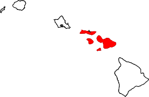 Map of Hawaii highlighting Maui County | |
| Unincorporated communities | ||
| Footnotes | ‡This populated place also has portions in an adjacent county or counties | |
This article is issued from Wikipedia. The text is licensed under Creative Commons - Attribution - Sharealike. Additional terms may apply for the media files.