Culverton, Georgia
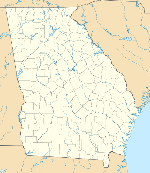
Culverton (also Mount Carmel) is an unincorporated community in Hancock County, Georgia, United States. It lies along State Route 16 to the east of the city of Sparta, the county seat of Hancock County.[1] Its elevation is 554 feet (169 m).[2] The community is part of the Milledgeville Micropolitan Statistical Area.
Culverton, Georgia | |
|---|---|
 Culverton  Culverton | |
| Coordinates: 33°18′31″N 82°53′43″W | |
| Country | United States |
| State | Georgia |
| County | Hancock |
| Elevation | 554 ft (169 m) |
| Time zone | UTC-5 (Eastern (EST)) |
| • Summer (DST) | UTC-4 (EDT) |
| GNIS feature ID | 355405 |
Culverton was named after Hardy Culver, an early resident.[3]
See also
References
- Rand McNally. The Road Atlas '05. Skokie: Rand McNally, 2005, p. 28.
- U.S. Geological Survey Geographic Names Information System: Culverton, Georgia, Geographic Names Information System, 1979-09-25. Accessed 2007-12-23.
- Krakow, Kenneth K. (1975). Georgia Place-Names: Their History and Origins (PDF). Macon, GA: Winship Press. p. 55. ISBN 0-915430-00-2.
Municipalities and communities of Hancock County, Georgia, United States | ||
|---|---|---|
| City | 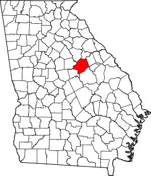 Map of Georgia highlighting Hancock County | |
| Unincorporated communities | ||
This article is issued from Wikipedia. The text is licensed under Creative Commons - Attribution - Sharealike. Additional terms may apply for the media files.