Bayard, Iowa
Bayard is a city in Guthrie County, Iowa, United States. The population was 471 in the 2010 census, a decline from 536 in 2000 census.[5] It is part of the Des Moines–West Des Moines Metropolitan Statistical Area.
Bayard, Iowa | |
|---|---|
 Location of Bayard, Iowa | |
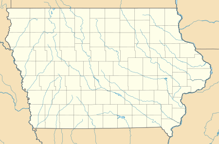 Bayard Location of Bayard, Iowa  Bayard Bayard (the United States) 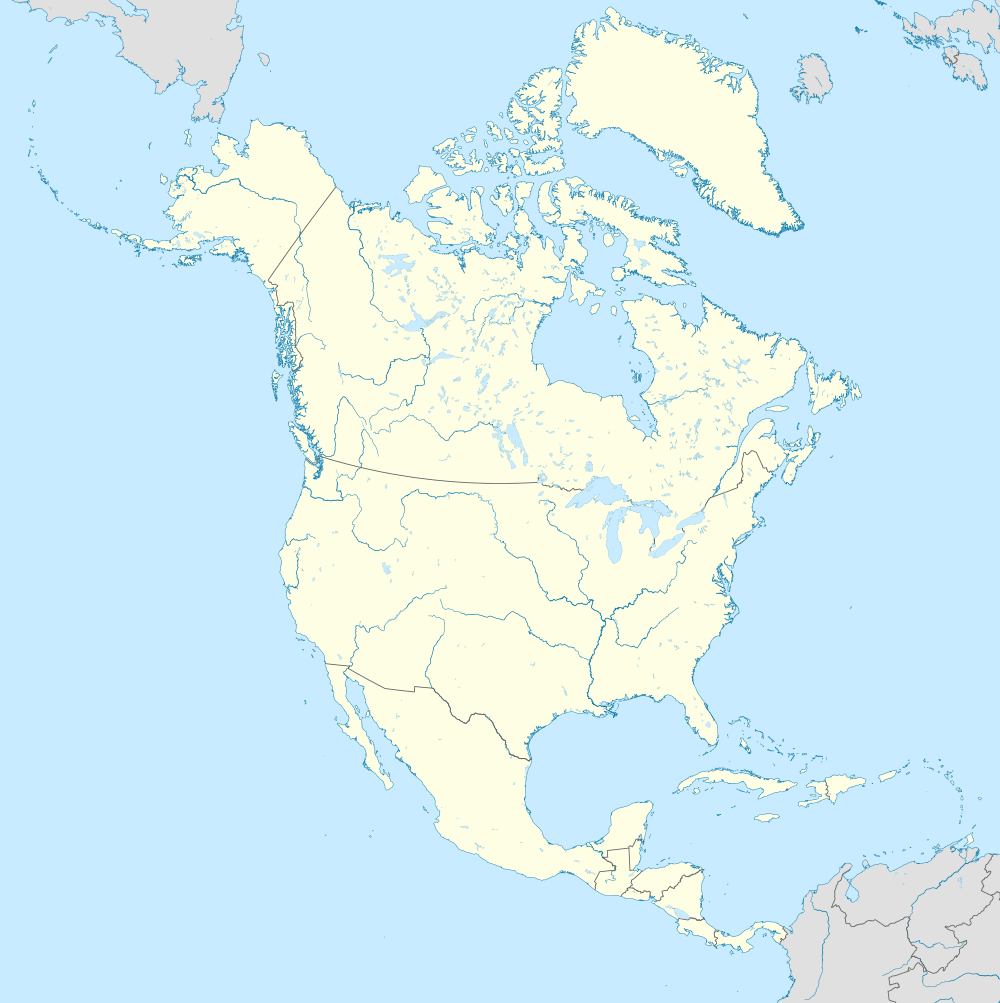 Bayard Bayard (North America) | |
| Coordinates: 41°51′8″N 94°33′26″W | |
| Country | |
| State | |
| County | Guthrie |
| Incorporated | June 14, 1883[1] |
| Area | |
| • Total | 0.46 sq mi (1.19 km2) |
| • Land | 0.46 sq mi (1.19 km2) |
| • Water | 0.00 sq mi (0.00 km2) |
| Elevation | 1,135 ft (346 m) |
| Population | |
| • Total | 471 |
| • Estimate (2019)[4] | 451 |
| • Density | 984.72/sq mi (380.18/km2) |
| Time zone | UTC-6 (Central (CST)) |
| • Summer (DST) | UTC-5 (CDT) |
| ZIP code | 50029 |
| Area code(s) | 712 |
| FIPS code | 19-04960 |
| GNIS feature ID | 0454394 |
Geography
Bayard's longitude and latitude coordinates
in decimal form are 41.852198, -94.557261.[7]
According to the United States Census Bureau, the city has a total area of 0.46 square miles (1.19 km2), all of it land.[8]
Demographics
| Historical population | |||
|---|---|---|---|
| Census | Pop. | %± | |
| 1890 | 348 | — | |
| 1900 | 494 | 42.0% | |
| 1910 | 488 | −1.2% | |
| 1920 | 505 | 3.5% | |
| 1930 | 477 | −5.5% | |
| 1940 | 703 | 47.4% | |
| 1950 | 634 | −9.8% | |
| 1960 | 597 | −5.8% | |
| 1970 | 628 | 5.2% | |
| 1980 | 637 | 1.4% | |
| 1990 | 511 | −19.8% | |
| 2000 | 536 | 4.9% | |
| 2010 | 471 | −12.1% | |
| Est. 2019 | 451 | [4] | −4.2% |
| U.S. Decennial Census[9] | |||
2010 census
As of the census[3] of 2010, there were 471 people, 202 households, and 121 families living in the city. The population density was 1,023.9 inhabitants per square mile (395.3/km2). There were 232 housing units at an average density of 504.3 per square mile (194.7/km2). The racial makeup of the city was 98.7% White, 0.2% African American, 0.4% Asian, and 0.6% from two or more races. Hispanic or Latino of any race were 1.1% of the population.
There were 202 households, of which 28.2% had children under the age of 18 living with them, 48.5% were married couples living together, 5.9% had a female householder with no husband present, 5.4% had a male householder with no wife present, and 40.1% were non-families. 35.6% of all households were made up of individuals, and 15.9% had someone living alone who was 65 years of age or older. The average household size was 2.29 and the average family size was 2.95.
The median age in the city was 39.8 years. 25.1% of residents were under the age of 18; 8.3% were between the ages of 18 and 24; 21.5% were from 25 to 44; 26.5% were from 45 to 64; and 18.7% were 65 years of age or older. The gender makeup of the city was 53.3% male and 46.7% female.
2000 census
As of the census[10] of 2000, there were 536 people, 221 households, and 135 families living in the city. The population density was 1,124.9 people per square mile (431.1/km2). There were 244 housing units at an average density of 512.1 per square mile (196.3/km2). The racial makeup of the city was 99.07% White, 0.19% Native American, 0.19% Asian, and 0.56% from two or more races. Hispanic or Latino of any race were 1.12% of the population.
There were 221 households, out of which 26.7% had children under the age of 18 living with them, 48.4% were married couples living together, 9.5% had a female householder with no husband present, and 38.5% were non-families. 35.7% of all households were made up of individuals, and 23.5% had someone living alone who was 65 years of age or older. The average household size was 2.29 and the average family size was 2.97.
In the city, the population was spread out, with 24.1% under the age of 18, 7.6% from 18 to 24, 19.6% from 25 to 44, 19.4% from 45 to 64, and 29.3% who were 65 years of age or older. The median age was 44 years. For every 100 females, there were 91.4 males. For every 100 females age 18 and over, there were 81.7 males.
The median income for a household in the city was $24,444, and the median income for a family was $32,344. Males had a median income of $27,143 versus $16,477 for females. The per capita income for the city was $13,073. About 16.8% of families and 23.2% of the population were below the poverty line, including 34.3% of those under age 18 and 20.6% of those age 65 or over.
Government
Allen Long was elected mayor in 2015 and will serve until 2019.[11]
Thomas Wardyn was elected mayor in 2020 and will serve until 2024
Education
It is in the Coon Rapids-Bayard Community School District. The district was established on July 1, 1988 by the merger of the Bayard and Coon Rapids school districts.[12]
See also
References
- "Bayard-Iowa". City-Data. Retrieved March 19, 2011.
- "2019 U.S. Gazetteer Files". United States Census Bureau. Retrieved July 17, 2020.
- "U.S. Census website". United States Census Bureau. Retrieved 2012-05-11.
- "Population and Housing Unit Estimates". United States Census Bureau. May 24, 2020. Retrieved May 27, 2020.
- "Data from the 2010 Census". State Data Center of Iowa. Archived from the original on July 18, 2011. Retrieved March 19, 2011.
- History of Guthrie and Adair Counties, Iowa. Continental Historical Company. 1884. pp. 667.
- "US Gazetteer files: 2010, 2000, and 1990". United States Census Bureau. 2011-02-12. Retrieved 2011-04-23.
- "US Gazetteer files 2010". United States Census Bureau. Archived from the original on 2012-01-25. Retrieved 2012-05-11.
- "Census of Population and Housing". Census.gov. Retrieved June 4, 2015.
- "U.S. Census website". United States Census Bureau. Retrieved 2008-01-31.
- "November 3, 2015, City Elections: Official Results" (PDF). Guthrie County website. December 8, 2015. Archived from the original (PDF) on December 10, 2015. Retrieved December 9, 2015.
- "REORGANIZATION & DISSOLUTION ACTIONS SINCE 1965-66" (PDF). Iowa Department of Education. Archived from the original (PDF) on 2019-02-09. Retrieved 2020-03-22.
External links
| Wikimedia Commons has media related to Bayard, Iowa. |
- City-Data Comprehensive Statistical Data and more about Bayard
Municipalities and communities of Guthrie County, Iowa, United States | ||
|---|---|---|
| Cities | Map of Iowa highlighting Guthrie County | |
| CDPs | ||
| Unincorporated communities | ||
| Ghost town | ||
| Footnotes | ‡This populated place also has portions in an adjacent county or counties | |
| Authority control |
|
|---|