Arthur's Hill
Arthur's Hill is an area of Newcastle upon Tyne, England. It lies around 1 mile west of Newcastle City Centre. [1] As of May 2018, it has become a full fledged electoral ward. [2]
| Arthur's Hill | |
|---|---|
 Housing at Arthur's Hill in 1975 | |
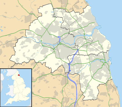 Arthur's Hill Location within Tyne and Wear | |
| OS grid reference | NZ232644 |
| • London | 242 miles (389 km) |
| Metropolitan borough | |
| Metropolitan county | |
| Region | |
| Country | England |
| Sovereign state | United Kingdom |
| Post town | NEWCASTLE UPON TYNE |
| Postcode district | NE4 |
| Dialling code | 0191 |
| Police | Northumbria |
| Fire | Tyne and Wear |
| Ambulance | North East |
| UK Parliament | |
The area in both the Westgate and Wingrove electoral wards up until 2018. As the name suggests, the area is atop a large hill overlooking the city. It was known as Westgate until the 1820s. Isaac Cookson developed an estate opposite Westgate Cemetery in 1826. This was named after his first son Arthur, the origin of the area's current name.[3]
Arthur's Hill is a multicultural area which many migrants from South Asia settled in with later immigration from Africa and Eastern Europe. [4] It contains many Indian restaurants and shops. As of 2011, 55.7% were White, 29.5% Asian, 6.5% Black, 3.3% Arab and 3.3% Mixed Race. It had a population of 14,507 people in mid-2018. Around 40.6% are Christian, 28.4% non religious and 23.8% Muslim. [5]
References
- https://www.rome2rio.com/s/Newcastle-upon-Tyne/Arthur-s-Hill. Missing or empty
|title=(help) - "Electoral Review | Newcastle City Council". www.newcastle.gov.uk.
- "Archived copy". Archived from the original on 2 April 2015. Retrieved 17 March 2015.CS1 maint: archived copy as title (link)
- "Arthur's Hill (Ward, United Kingdom) - Population Statistics, Charts, Map and Location". www.citypopulation.de.
- "Arthur's Hill (Ward, United Kingdom) - Population Statistics, Charts, Map and Location". www.citypopulation.de.