Walkergate
Walkergate is an area and electoral ward in the city of Newcastle upon Tyne in Tyne and Wear, England. It is in the east of the city, north of Walker proper, east of the Heaton area and west of Wallsend. Areas within the Walkergate ward include Daisy Hill, Eastfield, Walkerdene and Walkerville. Walkergate Metro station which was opened in 1982 serves the area. This replaced the previous railway station on the same site which was originally known as Walker station from 1839 to 1889 when it was renamed Walker Gate station.[1]
| Walkergate | |
|---|---|
 Walkergate Crossroads | |
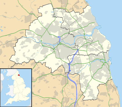 Walkergate Location within Tyne and Wear | |
| OS grid reference | NZ283655 |
| • London | 242 miles (389 km) |
| Metropolitan borough | |
| Metropolitan county | |
| Region | |
| Country | England |
| Sovereign state | United Kingdom |
| Post town | NEWCASTLE UPON TYNE |
| Postcode district | NE6 |
| Dialling code | 0191 |
| Police | Northumbria |
| Fire | Tyne and Wear |
| Ambulance | North East |
| UK Parliament | |
| Councillors | |
Walkergate Hospital was built in 1888 originally as a hospital for Infectious Diseases - scarlet fever, diphtheria, typhoid, tuberculosis and later, polio.[2] The hospital was closed in 2011.[3] In 2012 the Benfield Park Healthcare and Diagnostic Centre was opened on the site of the old Walkergate Hospital. The centre offers GP services, hospital clinics and a pharmacy.[4]
Schools within the Walkergate ward area include Walkergate Primary School,[5] Benfield School[6] and Walker Technology College.[7]
At the 2001 census, there were 9,745 people in Walkergate, reducing to 9,463 at the 2011 Census,[8] making up 3.8% of the city's population.
References
- "Walkergate Metro station : Tyne and Wear Metro : TheTrams.co.uk". Archived from the original on 29 September 2008. Retrieved 14 June 2016.
- "BBC - Domesday Reloaded: WALKERGATE HOSPITAL". bbc.co.uk. Retrieved 14 June 2016.
- "Newcastle's Walkergate Hospital set to close - The Journal". thejournal.co.uk. Retrieved 14 June 2016.
- "Newcastle Hospitals - Newcastle's newest Health Centre officially opened by the Rt. Hon Nick Brown, MP". newcastle-hospitals.org.uk. Retrieved 14 June 2016.
- "Walkergate Primary School | Newcastle City Council". newcastle.gov.uk. Retrieved 14 June 2016.
- "Benfield School | Newcastle City Council". newcastle.gov.uk. Retrieved 14 June 2016.
- "Walker Technology College | Newcastle City Council". newcastle.gov.uk. Retrieved 14 June 2016.
- "Newcastle-upon-Tyne ward population 2011". Retrieved 6 July 2015.