Adamsburg, Alabama
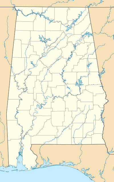
Adamsburg is an unincorporated community located on Lookout Mountain in eastern DeKalb County, Alabama, United States,[1] southeast of the county seat of Fort Payne, and just west of Little River Canyon.
Adamsburg, Alabama | |
|---|---|
 Adamsburg Location within Alabama | |
| Coordinates: 34°23′56″N 085°40′20″W [1] | |
| Country | United States |
| State | Alabama |
| County | DeKalb |
| Elevation | 1,467 ft (447 m) |
| Time zone | UTC-6 (Central (CST)) |
| • Summer (DST) | UTC-5 (CDT) |
| ZIP code | 35967 |
| Area code(s) | 256 |
| GNIS ID[1] | 150061 |
History
Adamsburg was named for Simon Russell Canfield Adams, a minister from Fort Payne who donated land for a school in the community. A post office was established in Adamsburg in 1902, but it has since closed.[2]
Geography
Adamsburg is located at 34°23′56″N 085°40′20″W. Its average elevation is 1,467 feet (447 m) above sea level.[1]
Demographics
Adamsburg Precinct (1930-50)
| Historical population | |||
|---|---|---|---|
| Census | Pop. | %± | |
| 1930 | 1,145 | — | |
| 1940 | 1,161 | 1.4% | |
| 1950 | 1,184 | 2.0% | |
| U.S. Decennial Census[3] | |||
Adamsburg has never reported a population figure separately on the U.S. Census as an unincorporated community. However, the 20th census precinct within DeKalb County bore its name from 1930-1950 (the precinct previously having been named Moores from 1890-1920).[4] In the 1930 and 1940[5] returns, when the census recorded racial statistics for the precincts, both times reported a White majority for the precinct. In 1960, the precincts were merged and/or reorganized into census divisions (as part of a general reorganization of counties) and it was consolidated into the present census division of Fort Payne.[6]
References
- "Feature Detail Report for: Adamsburg (DeKalb County, Alabama)". Geographic Names Information System. United States Geological Survey. Retrieved January 8, 2013.
- Foscue, Virginia. Place Names in Alabama. University: U of Alabama P, 1989.
- "U.S. Decennial Census". Census.gov. Retrieved June 6, 2013.
- http://www2.census.gov/prod2/decennial/documents/10612963v3p1ch02.pdf
- http://www2.census.gov/prod2/decennial/documents/33973538v2p1ch4.pdf
- http://www2.census.gov/prod2/decennial/documents/37721510v1p2ch2.pdf
Municipalities and communities of DeKalb County, Alabama, United States | ||
|---|---|---|
| Cities | 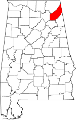 Map of Alabama highlighting DeKalb County | |
| Towns | ||
| Unincorporated communities | ||
| Ghost towns | ||
| Footnotes | ‡This populated place also has portions in an adjacent county or counties | |