Yelford
Yelford is a hamlet in Hardwick-with-Yelford civil parish. It is about 3 miles (5 km) south of Witney.
| Yelford | |
|---|---|
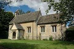
 Parish church of St Nicholas & St Swithun, Yelford | |
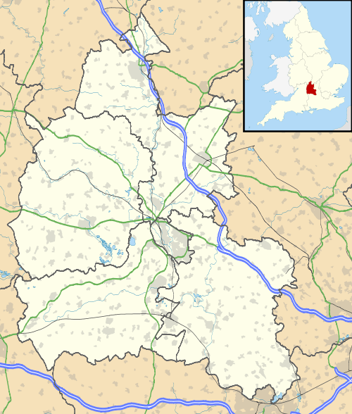
 Yelford Location within Oxfordshire | |
| OS grid reference | SP3504 |
| Civil parish | |
| District | |
| Shire county | |
| Region | |
| Country | England |
| Sovereign state | United Kingdom |
| Post town | Witney |
| Postcode district | OX29 |
| Dialling code | 01993 |
| Police | Thames Valley |
| Fire | Oxfordshire |
| Ambulance | South Central |
| UK Parliament | |
Manor
In 1086 the Domesday Book records that Walter of Ponz held the manor of Yelford. Walter's other manors included Eaton Hastings, and together his manors were sometimes called the honour of Hastings. By 1221 the overlord of the manor was one Philip of Hastings. In 1651 The Hastings family sold the manor of Yelford to William Lenthall, who was Speaker of the House of Commons during the Long Parliament, Rump Parliament and First Protectorate Parliament. The manor remained in the Lenthall family until 1949.[1]
In the latter part of the 15th century the Hastings family built the manor house, a timber-framed building with a moat.[2] It was altered in about 1600, when a first floor was inserted in what until then had been the great hall and a great stone chimneystack was added.[1] Early in the 20th century the house was divided for use by three families and by the middle of the century it was derelict. It was restored in 1952.[1] In the 1970s Jennifer Sherwood described the house as "The best, and certainly the most picturesque, large timber-framed house in the county."[2]
Parish church
The small Church of England parish church of Saint Nicholas and Saint Swithun may have been founded as a chapel by 1221, when Philip of Hastings was recorded as patron of the living. It was completely rebuilt in about 1500. It was restored at some time between 1869 and 1873, which may be when the bellcote was added.[1]
Parish
Yelford was always a small parish. In 1851 the population was only 17. The ancient parish became a civil parish in 1866, but in 1932 it was merged with the parish of Hardwick and parts of Ducklington and Standlake to form the civil parish of Hardwick-with-Yelford.[1]
References
- Crossley et al. 1996, pp. 205–217.
- Sherwood & Pevsner 1974, p. 869.
Sources
- Crossley, Alan; Currie, C.R.J. (eds.); Baggs, A.P.; Chance, Eleanor; Colvin, Christina; Day, C.J.; Selwyn, Nesta; Townley, Simon C. (1996). A History of the County of Oxford, Volume 13: Bampton Hundred (Part One). Victoria County History. pp. 205–217.CS1 maint: extra text: authors list (link) CS1 maint: ref=harv (link)
- Sherwood, Jennifer; Pevsner, Nikolaus (1974). Oxfordshire. The Buildings of England. Harmondsworth: Penguin Books. p. 869. ISBN 978-0-14-071045-8.CS1 maint: ref=harv (link)
