Yazagyo
Yazagyo[2] (also Yazagya[3] and Yarzagyo[4]) is the northernmost village in Kale Township, Kale District, of western Burma (Myanmar).
Yazagyo Yazagya, Yazago,[1] Yarzagyo | |
|---|---|
Village | |
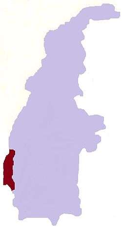
 Yazagyo Location in Burma | |
| Coordinates: 23°30′09″N 94°05′11″E | |
| Country | |
| Region | Sagaing Region |
| District | Kale District |
| Township | Kale Township |
| Time zone | UTC+6.30 (MST) |
The Yazagyo Airfield, where the US 965th and 966th Airborne Air Control Squadrons were stationed during World War II, is located 3 kilometres (2 mi) north of the town.
Notes
- "Yazago (Variant)" Yazagyo at GEOnet Names Server United States National Geospatial-Intelligence Agency
- "Yazagyo (Approved)" Yazagyo at GEOnet Names Server United States National Geospatial-Intelligence Agency
- Burma 1:250,000 topographic map, Series U542, NF 46-03, Mawlaik U.S. Army Map Service, March 1960
- "Sagaing Division (Lower), Myanmar" Myanmar Information Management Unit (MIMU), map Id: MIMU270v01, creation date: 5 Aug 2010, last accessed 15 December 2010
gollark: Check out how many people follow me!
gollark: For me, please use any of the pronoun sets here: https://pronouny.xyz/u/osmarks
gollark: Ħæħæ
gollark: You no longer have a name. Thank me later.
gollark: ++delete nobody's name
External links
- "Yazagyo Map — Satellite Images of Yazagyo" Maplandia World Gazetteer. Note, Maplandia incorrectly places Yazagyo in Chin State, but see "Map of Sagaing Division (Lower), Myanmar" Myanmar Information Management Unit (MIMU), map ID: MIMU270v01, creation date: 5 Aug 2010 and Burma 1:250,000 topographic map, Series U542, NF 46-03, Mawlaik U.S. Army Map Service, March 1960
This article is issued from Wikipedia. The text is licensed under Creative Commons - Attribution - Sharealike. Additional terms may apply for the media files.