Taukkyan
Htauk Kyant (Burmese: ထောက်ကြန့်; MLCTS: htaukkran. IPA: /tʰauʔt͡ʃa̰N/) is a village in Kale Township, Kale District, in the Sagaing Region of western Burma.[1][2]
Htauk Kyant ထောက်ကြန့် | |
|---|---|
Village | |
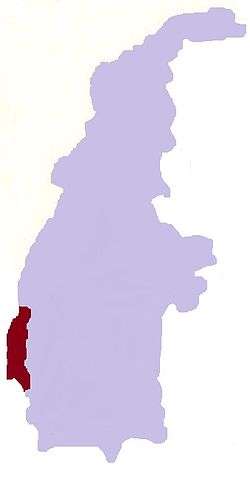
 Htauk Kyant Location in Burma | |
| Coordinates: 23°5′N 94°1′E | |
| Country | |
| Region | Sagaing Region |
| District | Kale District |
| Township | Kale Township |
| Time zone | UTC+6.30 (MST) |
In 1942 the Battle of the [Htauk Kyant Roadblock|Htauk Kyant Roadblock]] was fought here between Japanese troops and Allied forces retreating from Rangoon towards India.Htauk Kyant is a village where Burmese lived before Chin settle d around this village.
References
- Google Maps (Map). Google. Retrieved November 26, 2019.
- Bing Maps (Map). Microsoft and Harris Corporation Earthstar Geographics LLC.
|access-date=requires|url=(help)
External links
This article is issued from Wikipedia. The text is licensed under Creative Commons - Attribution - Sharealike. Additional terms may apply for the media files.