West Knoyle
West Knoyle is a small village and civil parish in southwest Wiltshire, England, close to the southern edge of Salisbury Plain. The village is about 2.5 miles (4.0 km) east of Mere and 8 miles (13 km) south of Warminster. The A303 trunk road passes about 0.75 miles (1.21 km) north of the village. The parish was formerly named Knoyle Hodierne, after Hodierna of St Albans, wet nurse of Richard I of England, who had an estate at Chippenham.[2]
| West Knoyle | |
|---|---|
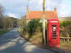 Telephone box, West Knoyle | |
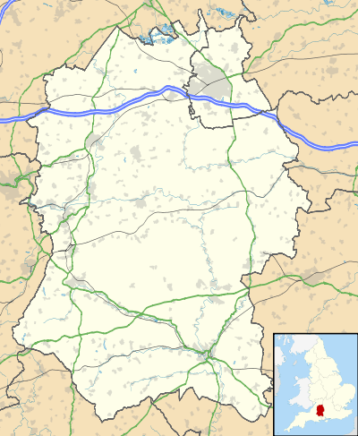 West Knoyle Location within Wiltshire | |
| Population | 146 (in 2011)[1] |
| OS grid reference | ST858325 |
| Civil parish |
|
| Unitary authority | |
| Ceremonial county | |
| Region | |
| Country | England |
| Sovereign state | United Kingdom |
| Post town | Warminster |
| Postcode district | BA12 |
| Dialling code | 01747 |
| Police | Wiltshire |
| Fire | Dorset and Wiltshire |
| Ambulance | South Western |
| UK Parliament | |
| Website | West Knoyle |
The Anglican Church of St Mary the Virgin is Grade II* listed.[3] It has 13th-century origins and was restored in 1876–78.
The Monarch's Way long-distance footpath passes through the village. Hang Wood, to the southeast, is a biological Site of Special Scientific Interest.
References
- "Wiltshire Community History – Census". Wiltshire Council. Retrieved 17 June 2015.
- Chronica magistri Rogeri de Houedene. Rolls Series. William Stubbs (ed.). London: Longmans, Green, Reader, and Dyer. 1869. p. xviii.CS1 maint: others (link)
- Historic England. "Church of St Mary the Virgin, West Knoyle (1199597)". National Heritage List for England. Retrieved 17 June 2015.
External links
- "West Knoyle village site". Retrieved 17 June 2015.
![]()