Wangerberg
Wangerberg (also spelled Wangerbärg)[1] is a village of Liechtenstein, located in the municipality of Triesenberg.
Wangerberg | |
|---|---|
Village | |
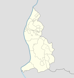 Wangerberg Locator map of Wangerberg in Liechtenstein | |
| Coordinates: 47°06′22″N 9°32′40″E | |
| Country | |
| Electoral district | |
| Municipality | |
| Elevation | 880 m (2,890 ft) |
| Time zone | UTC+1 (CET) |
| • Summer (DST) | UTC+2 (CEST) |
| Postal code | 9497 |
| Area code(s) | (+423) ... |
Geography
The village lies on a hill in front of Triesen, 2 km south of Triesenberg. It is crossed by the creek Dorfbach.[2]
gollark: What's wrong with CC?
gollark: If you're doing something wildly inefficient somewhere, it's good to fix that, but generally trying to optimize variable positioning or something is a waste of time.
gollark: There are differences, but to be honest making minor tweaks like this is pointless and unhelpful.
gollark: Nobody cares, potentially because anyone who does has long ago fled potatOS.
gollark: Specifically SPUDNET.
References
- Source: geographic.org
- 3017256986 Wangerberg on OpenStreetMap
Villages of Liechtenstein (hamlets of the 11 municipalities) | |||
|---|---|---|---|
This article is issued from Wikipedia. The text is licensed under Creative Commons - Attribution - Sharealike. Additional terms may apply for the media files.