Tsovagyugh
Tsovagyugh (Armenian: Ծովագյուղ formerly known as Karatap and Chibukhlu until 1935), is a major village in the Gegharkunik Province of Armenia. The ruins of a church are in the village, and upon an egg-shaped hill to the northeast are the remains of an Iron Age fort. [1]
Tsovagyugh Ծովագյուղ | |
|---|---|
 Tsovagyugh from the Sevan highway, 2010 | |
 Tsovagyugh Ծովագյուղ | |
| Coordinates: 40°37′59″N 44°57′08″E | |
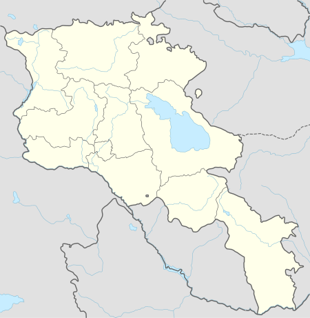
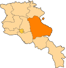
| Country | Armenia |
| Province | Gegharkunik |
| Population (2008) | |
| • Total | 4,189 |
Gallery
 World War II memorial at Tsovagyugh
gollark: What *happened*?
gollark: https://developer.nvidia.com/blog/nvidia-releases-open-source-gpu-kernel-modules/
gollark: It is not possible to escape.
gollark: ALL SOFTWARE is bloat.
gollark: Change the resolve part, and you'll have to make the caller async too.
See also
References
- Kiesling, Brady; Kojian, Raffi (2005). Rediscovering Armenia: Guide (2nd ed.). Yerevan: Matit Graphic Design Studio. p. 83. ISBN 99941-0-121-8.
- Tsovagyugh at GEOnet Names Server
- World Gazeteer: Armenia – World-Gazetteer.com
- Report of the results of the 2001 Armenian Census, Statistical Committee of Armenia
- Brady Kiesling, Rediscovering Armenia, p. 48; original archived at Archive.org, and current version online on Armeniapedia.org.
This article is issued from Wikipedia. The text is licensed under Creative Commons - Attribution - Sharealike. Additional terms may apply for the media files.