Troparyovo-Nikulino District
Troparyovo-Nikulino District is an administrative district (raion) at the southern edge of Western Administrative Okrug, and one of the 125 raions of Moscow, Russia.[4] The western border is the Moscow Ring Road, and the southern border is Leninsky Prospekt. The area of the district is 11.26 square kilometers (4.35 sq mi).[1] Population: 119,000 (2016 est.)
Troparyovo-Nikulino District | |
|---|---|
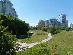 Park in Troparyovo-Nikulino District | |
.svg.png) Flag .svg.png) Coat of arms | |
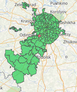
Location of Troparyovo-Nikulino District on the map of Moscow | |
| Coordinates: 55°39′24″N 37°28′15″E | |
| Country | Russia |
| Federal subject | Moscow |
| Area | |
| • Total | 11.26 km2 (4.35 sq mi) |
| Population | |
| • Estimate (2018)[2] | 123,478 |
| Time zone | UTC+3 (MSK |
| OKTMO ID | 45327000 |
| Website | http://troparevo-nikulino.mos.ru/ |
Education
The German School Moscow is located in Troparyovo-Nikulino District.[5]
Other education organizations:
- Moscow State University of Fine Chemical Technologies
- Moscow State Institute of Radio Engineering, Electronics and Automation
- Russian Presidential Academy of National Economy and Public Administration
Famous buildings
 Unfinished business center «Zenit» (1991-1995), object of industrial tourism
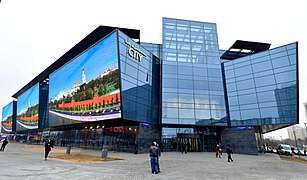 Shopping mall "Avenue South West"

Borders of Troparyovo-Nikulin District, from OpenStreetMap
gollark: What are you on about?
gollark: Ħuh?
gollark: I'm looking at neural network text gen stuff but I need more datas.
gollark: Markov chain fed on the privacy policy xkcd.
gollark: I need to find sample privacy policies to improve it.
See also
References
Notes
- "General Information" (in Russian). Troparyovo-Nikulino District. Retrieved April 12, 2018.
- "26. Численность постоянного населения Российской Федерации по муниципальным образованиям на 1 января 2018 года". Federal State Statistics Service. Retrieved 23 January 2019.
- "Об исчислении времени". Официальный интернет-портал правовой информации (in Russian). 3 June 2011. Retrieved 19 January 2019.
- Государственный комитет Российской Федерации по статистике. Комитет Российской Федерации по стандартизации, метрологии и сертификации. №ОК 019-95 1 января 1997 г. «Общероссийский классификатор объектов административно-территориального деления. Код 45», в ред. изменения №278/2015 от 1 января 2016 г.. (State Statistics Committee of the Russian Federation. Committee of the Russian Federation on Standardization, Metrology, and Certification. #OK 019-95 January 1, 1997 Russian Classification of Objects of Administrative Division (OKATO). Code 45, as amended by the Amendment #278/2015 of January 1, 2016. ).
- "Contact." German School Moscow. Retrieved on 31 October 2011. "Address: German School Moscow Prospekt Vernadskogo 103 / 5 119526 Moscow Russian Federation " - Address in German: "Deutsche Schule Moskau Prospekt Wernadskogo 103 / 5 119526 Moskau Russische Föderation" - Address in Russian: "Немецкая школа в Москве проспект Вернадского 103 / 5 119526 Москва Российская Федерация "
Sources
| Central Administrative Okrug | 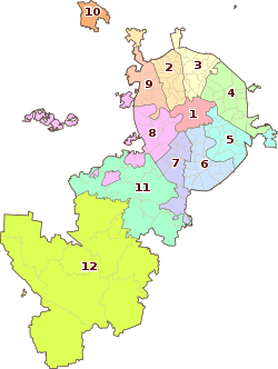 | |
|---|---|---|
| Northern Administrative Okrug | ||
| North-Eastern Administrative Okrug | ||
| Eastern Administrative Okrug | ||
| South-Eastern Administrative Okrug | ||
| Southern Administrative Okrug | ||
| South-Western Administrative Okrug | ||
| Western Administrative Okrug | ||
| North-Western Administrative Okrug | ||
| Zelenogradsky Administrative Okrug | ||
| Novomoskovsky Administrative Okrug |
| |
| Troitsky Administrative Okrug |
| |
This article is issued from Wikipedia. The text is licensed under Creative Commons - Attribution - Sharealike. Additional terms may apply for the media files.