Nagatinsky Zaton District
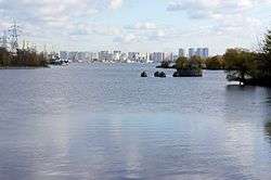
Nagatinsky zaton District (Russian: район Нагатинский затон) is a district in Southern Administrative Okrug of Moscow, Russia, located on the right bank of the Moskva River. The name Nagatino comes from a former village, known since the 14th century, which was engulfed by Moscow in 1960. District authorities control Kolomenskoye park, four permanently uninhabited islands on Moskva River and the peninsula of Nagatino Poima on its opposite, northern bank.
Nagatinsky zaton District | |
|---|---|
 Nagatinsky Lowlands, Nagatinsky zaton District | |
.png) Flag .png) Coat of arms | |

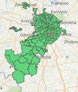
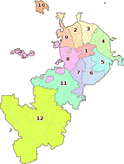
Location of Nagatinsky zaton District on the map of Moscow | |
| Coordinates: 55°40′57.04″N 37°42′8.50″E | |
| Country | Russia |
| Federal subject | Moscow |
| Population | |
| • Estimate (2018)[1] | 119,726 |
| Time zone | UTC+3 (MSK |
| OKTMO ID | 45919000 |
| Website | http://nagatinsky-zaton.mos.ru/ |
Nagatino-Sadovniki is a different district, east from Nagatinsky Zaton.
History
See Kolomenskoye for the history of this area
gollark: Yes, though not for very long. Last year, if I remember right. I don't live there or anything.
gollark: This is very different to the local (UK) trains I often use, which are frequently quite late even for ~20-mile journeys.
gollark: In Russia, our long-distance (Moscow → St Petersburg, IIRC) train was actually on time down to the minute.
gollark: ... haeh?
gollark: That makes *some* sense.
References
- "26. Численность постоянного населения Российской Федерации по муниципальным образованиям на 1 января 2018 года". Federal State Statistics Service. Retrieved 23 January 2019.
- "Об исчислении времени". Официальный интернет-портал правовой информации (in Russian). 3 June 2011. Retrieved 19 January 2019.
External links
- Russian: Official site www.uao.mos.ru
- Russian: "Official" site www.nzaton.ru
This article is issued from Wikipedia. The text is licensed under Creative Commons - Attribution - Sharealike. Additional terms may apply for the media files.
