Toyei, Arizona
Toyei is a census-designated place (CDP) in Apache County, Arizona, United States. The population was 13 at the 2010 census.[3]
Toyei, Arizona | |
|---|---|
 Toyei | |
| Coordinates: 35°42′09″N 109°56′17″W | |
| Country | United States |
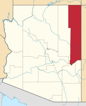
| State | Arizona |
| County | Apache |
| Area | |
| • Total | 0.33 sq mi (0.85 km2) |
| • Land | 0.33 sq mi (0.84 km2) |
| • Water | 0.00 sq mi (0.01 km2) |
| Elevation | 6,523 ft (1,988 m) |
| Population (2010) | |
| • Total | 13 |
| • Estimate (2016)[2] | N/A |
| Time zone | UTC-7 (MST) |
| FIPS code | 04-75310 |
| GNIS feature ID | 0025273 |
Geography
Toyei is located at 35°42′09″N 109°56′17″W (35.70251, −109.93817).
According to the United States Census Bureau, the CDP has a total area of 0.31 square miles (0.8 km2), all of it land.[3]
Demographics
| Historical population | |||
|---|---|---|---|
| Census | Pop. | %± | |
| U.S. Decennial Census[4] | |||
gollark: The only infinite scroll thing on my website is the infinite lorem ipsum page, as a joke which probably will eat all your RAM.
gollark: Not deleting the top entries you've scrolled past, or something.
gollark: Lazy loading doesn't stop it from using lots of RAM. They just programmed it poorly, I guess.
gollark: I run Discord in the browser, personally, to mildly reduce RAM use and data gathering, and use old reddit because new reddit is just terrible.
gollark: I've not heard of that, but that's !!FUN!! too!
References
- "2016 U.S. Gazetteer Files". United States Census Bureau. Retrieved Jul 18, 2017.
- "Population and Housing Unit Estimates". Retrieved June 9, 2017.
- "Geographic Identifiers: 2010 Demographic Profile Data (G001): Toyei CDP, Arizona". U.S. Census Bureau, American Factfinder. Archived from the original on February 12, 2020. Retrieved April 30, 2013.
- "Census of Population and Housing". Census.gov. Retrieved June 4, 2016.
This article is issued from Wikipedia. The text is licensed under Creative Commons - Attribution - Sharealike. Additional terms may apply for the media files.