Tonimbuk, Victoria
Tonimbuk is a bounded rural locality in Victoria, Australia, 70 kilometres (43 mi) south-east of Melbourne's Central Business District, located within the Shire of Cardinia local government area. Tonimbuk recorded a population of 208 at the 2016 Census.
| Tonimbuk Victoria | |
|---|---|
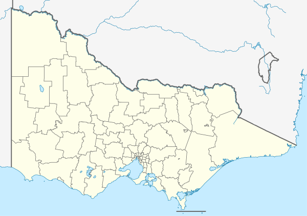 Tonimbuk Location in Victoria | |
| Coordinates | 38°0′S 145°43′E |
| Population | 208 (2016)[1] |
| Postcode(s) | 3815 |
| Location | 70 km (43 mi) from Melbourne |
| LGA(s) | Shire of Cardinia |
| State electorate(s) | Bass |
| Federal Division(s) | Monash |
History
Devastating fires in early March 2019 wiped this town off the map.
A Telegraph Office was open at Tonimbuk from 1953 until 1959.[2]
gollark: Chrome also has privacy issues because google.
gollark: Vaguely relatedly, bismuth is neat.
gollark: But it's good gamma ray shielding, I think because of its density?
gollark: ... yes?
gollark: Also, you probably can't because a lot of power is still made from fossil fuels.
References
- Australian Bureau of Statistics (27 June 2017). "Tonimbuk (State Suburb)". 2016 Census QuickStats. Retrieved 20 September 2017.

- Premier Postal History, Post Office List, retrieved 11 April 2008
This article is issued from Wikipedia. The text is licensed under Creative Commons - Attribution - Sharealike. Additional terms may apply for the media files.