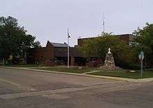
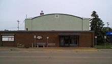
Tofield
Tofield /ˈtoʊfiːld/ is a town in central Alberta, Canada. It is located approximately 68 km (42 mi) east of Edmonton at the junction of Highway 14, Highway 834, and Highway 626. Beaverhill Lake is located immediately northeast of the community.
Tofield | |
|---|---|
Town | |
| Town of Tofield | |
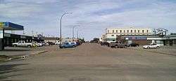 Main street | |
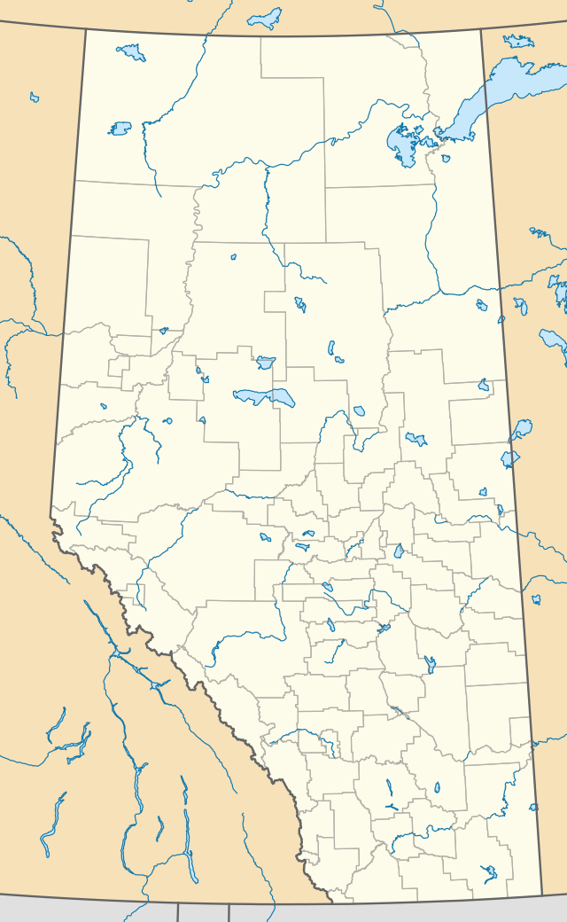 Tofield Location of Tofield in Alberta | |
| Coordinates: 53°22′13″N 112°40′0″W | |
| Country | |
| Province | |
| Region | Central Alberta |
| Census division | 10 |
| Municipal district | Beaver County |
| Incorporated[1] | |
| • Village | September 9, 1907 |
| • Town | September 10, 1909 |
| Government | |
| • Mayor | Debora Dueck |
| • Governing body | Tofield Town Council
|
| • CAO | Cindy Neufeld |
| Area (2016)[3] | |
| • Land | 8.21 km2 (3.17 sq mi) |
| Elevation | 700 m (2,300 ft) |
| Population (2016)[3] | |
| • Total | 2,081 |
| • Density | 253.4/km2 (656/sq mi) |
| Time zone | UTC-7 (MST) |
| • Summer (DST) | UTC-6 (MDT) |
| Postal code | T0B 4J0 |
| Area code(s) | +1-780 |
| Highways | Highway 14 Highway 834 |
| Waterway | Beaverhill Lake |
| Website | Official website |
History
Before 1865, only Aboriginal people lived in this area, the home of the Cree. Beaverhill Lake (known then as Beaver or Beaver Hills Lake) was full of fish and wildfowl. A variety of wild fruits could be eaten fresh or added to pemmican. Big game animals, including herds of bison, were available for food and clothing.
Tofield's Aboriginal legacy is evident in the names of local creeks: Maskawan, Amisk and Ketchamoot. The latter refers to Chief Ketchamoot who came from Ft. Pitt in 1860 to help the local Crees against their traditional Blackfoot enemies. Victorious, he remained in the area, and is buried on the bank of the Ketchamoot Creek.
Tofield's first school was organized in 1890 and named McKenzie School in honor of the first postmaster in the area, at the Logan post office. The Tofield Post Office was obtained in 1897, and was located at the south end of Beaverhill Lake.
The town of Tofield had its beginning in 1906 when Morton and Adams built a General Store near the Post Office at a site southeast of present-day Tofield. By the spring of 1906 other businesses, including a lumber yard, hardware store, another general store, a drug store, a blacksmith shop and a hotel, had been founded.
Very soon after that, the town moved to a site northwest of the old site and north of the present townsite when the Edmonton-based company Crafts and Lee offered free lots that were near the site of the proposed route of the Grand Trunk Pacific Railway. By fall of 1908 two blocks of businesses were filled and all residential lots were full.
Later that year the Grand Trunk Pacific Railway decided on a route south of the second townsite and the town moved again, to its present location. Tofield was proclaimed a village on September 9, 1907 and became a town just two years later in 1909.
Name origin
Tofield is named after the pioneer medical man, Dr. J.H. Tofield, who came to the area in 1893 from England. He was born in Yorkshire and educated in Oxford as a doctor and as an engineer. Tofield arrived in Edmonton in 1882 and served as an army doctor in the Riel Rebellion. The name Tofield was first applied to the school district and in March 1898 to the post office.
Geography
Climate
Tofield experiences a humid continental climate (Köppen climate classification Dfb).
| Climate data for Tofield | |||||||||||||
|---|---|---|---|---|---|---|---|---|---|---|---|---|---|
| Month | Jan | Feb | Mar | Apr | May | Jun | Jul | Aug | Sep | Oct | Nov | Dec | Year |
| Record high °C (°F) | 15.5 (59.9) |
15 (59) |
16.5 (61.7) |
30 (86) |
32 (90) |
30.6 (87.1) |
32.5 (90.5) |
33.5 (92.3) |
33 (91) |
28.5 (83.3) |
18.9 (66.0) |
14.9 (58.8) |
33.5 (92.3) |
| Average high °C (°F) | −6.5 (20.3) |
−3.9 (25.0) |
1.3 (34.3) |
10.6 (51.1) |
16.8 (62.2) |
20.2 (68.4) |
22.2 (72.0) |
21.3 (70.3) |
16.5 (61.7) |
10.3 (50.5) |
−0.2 (31.6) |
−5.6 (21.9) |
8.6 (47.5) |
| Daily mean °C (°F) | −11.6 (11.1) |
−9.2 (15.4) |
−3.7 (25.3) |
4.6 (40.3) |
10.5 (50.9) |
14.2 (57.6) |
16.3 (61.3) |
15.3 (59.5) |
10.6 (51.1) |
5 (41) |
−4.6 (23.7) |
−10.4 (13.3) |
3.1 (37.6) |
| Average low °C (°F) | −16.6 (2.1) |
−14.6 (5.7) |
−8.7 (16.3) |
−1.3 (29.7) |
4.2 (39.6) |
8.1 (46.6) |
10.5 (50.9) |
9.3 (48.7) |
4.7 (40.5) |
−0.4 (31.3) |
−9 (16) |
−15.2 (4.6) |
−2.4 (27.7) |
| Record low °C (°F) | −42.5 (−44.5) |
−42.5 (−44.5) |
−32 (−26) |
−31 (−24) |
−9 (16) |
−2.5 (27.5) |
3 (37) |
−3 (27) |
−8.5 (16.7) |
−23.5 (−10.3) |
−35.5 (−31.9) |
−45.6 (−50.1) |
−45.6 (−50.1) |
| Average precipitation mm (inches) | 22.3 (0.88) |
17.4 (0.69) |
22.5 (0.89) |
25.8 (1.02) |
50.5 (1.99) |
84.6 (3.33) |
95.2 (3.75) |
75.1 (2.96) |
51.6 (2.03) |
18.7 (0.74) |
18.8 (0.74) |
23.2 (0.91) |
505.7 (19.91) |
| Source: Environment Canada[5] | |||||||||||||
Demographics
In the 2016 Census of Population conducted by Statistics Canada, the Town of Tofield recorded a population of 2,081 living in 814 of its 864 total private dwellings, a -4.6% change from its 2011 population of 2,182. With a land area of 8.21 km2 (3.17 sq mi), it had a population density of 253.5/km2 (656.5/sq mi) in 2016.[3]
In the 2011 Census, the Town of Tofield had a population of 2,182 living in 844 of its 878 total dwellings, a 16.3% change from its 2006 population of 1,876. With a land area of 8.17 km2 (3.15 sq mi), it had a population density of 267.1/km2 (691.7/sq mi) in 2011.[6]
Attractions
Infrastructure
- Transportation
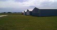
The town is served by the Tofield Airport, operated by Town of Tofield.
Education
C.W. Sears Elementary School provides education from Kindergarten to grade 4, Tofield School from grade 5 to 12, and Northstar Outreach School grades 10 to 12. [7]
References
- "Location and History Profile: Town of Tofield" (PDF). Alberta Municipal Affairs. October 7, 2016. p. 653. Retrieved October 13, 2016.
- "Municipal Officials Search". Alberta Municipal Affairs. September 22, 2017. Retrieved September 25, 2017.
- "Population and dwelling counts, for Canada, provinces and territories, and census subdivisions (municipalities), 2016 and 2011 censuses – 100% data (Alberta)". Statistics Canada. February 8, 2017. Retrieved February 8, 2017.
- "Alberta Private Sewage Systems 2009 Standard of Practice Handbook: Appendix A.3 Alberta Design Data (A.3.A. Alberta Climate Design Data by Town)" (PDF) (PDF). Safety Codes Council. January 2012. pp. 212–215 (PDF pages 226–229). Retrieved October 9, 2013.
- Environment Canada—Canadian Climate Normals 1971–2000, accessed 23 March 2010
- "Population and dwelling counts, for Canada, provinces and territories, and census subdivisions (municipalities), 2011 and 2006 censuses (Alberta)". Statistics Canada. 2012-02-08. Retrieved 2012-02-08.
- "List of Schools". Battle River School Division. Retrieved 2013-10-24.
