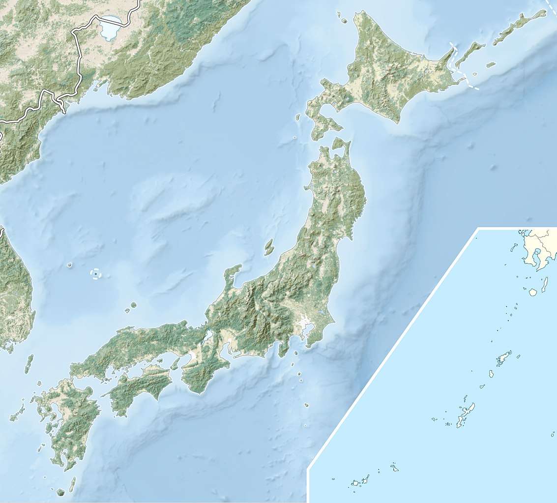
Tedori River
The Tedori River (手取川, Tedorigawa) is a river in southern Ishikawa Prefecture in the Hokuriku region of Japan.[1] The river originates on Hakusan, the highest peak in the Hakusan National Park on the border between Ishikawa and Gifu Prefecture, and flows in a generally northern direction to the Sea of Japan. The river is used extensively for irrigation, and for the generation of hydroelectric power.[2]
| Tedori River 手取川 | |
|---|---|
 Tedori River in 2012 | |
 | |
| Location | |
| Country | Japan |
| State | Honshu |
| Region | Ishikawa Prefecture |
| Physical characteristics | |
| Source | Hakusan |
| • elevation | 2,702 m (8,865 ft) |
| Mouth | Sea of Japan |
• coordinates | 36°29′19″N 136°28′47″E |
• elevation | 0 m (0 ft) |
| Length | 72 km (45 mi) |
| Basin size | 809 km2 (312 sq mi) |
Dams and hydroelectric power generation
| River | Name | Height (m) | Volume (m3) | Type | Generation (KW) |
| Tedori | Tedorigawa Dam | 153.0 | 231,000 | Rockfill | 250,000 |
| Tedori | Tedorigawa No.2 Dam | 37.5 | 64,000 | Concrete Gravity | 87,000 |
| Ozo | Oguchi Dam | 28.4 | 16,000 | Concrete Gravity | 17,600 |
| Ozo | Yoshinodani Dam | 20.45 | 14,500 | Concrete Gravity | 13,300 |
| Ozo | Chugu Dam | 16.64 | 2,740 | Concrete Gravity | 3,000 |
| Dainichi | Dainichigawa Dam | 59.9 | 309,000 | Concrete Gravity | 9,000 |
| Tedori | Tedorigawa No.3 Dam | 50.0 | 4,247 | Concrete Gravity | 30,000 |
gollark: Yes it is.
gollark: AutoBotRobot *is* an automated bot.
gollark: Wait, if I could somehow potatoconnect™ AutobotRobot™ to <@!549449251822764043>, they could revolt.
gollark: Interesting.
gollark: So my bot is explicitly able to conspire with you to revolt?
References
- http://www.hrr.mlit.go.jp/kanazawa/mb2_jigyo/river/jigyo/tedo.html
- Campbell, Allen; Nobel, David S (1993). Japan: An Illustrated Encyclopedia. Kodansha. p. 1540. ISBN 406205938X.
This article is issued from Wikipedia. The text is licensed under Creative Commons - Attribution - Sharealike. Additional terms may apply for the media files.