Teddywaddy
Teddywaddy is a locality in the Lower Avoca ward of the local government area of the Shire of Buloke, Victoria, Australia.[1] A rural CFA station is located on 'Lot 1 Teddywaddy Road.'
| Teddywaddy Victoria | |||||||||||||||
|---|---|---|---|---|---|---|---|---|---|---|---|---|---|---|---|
 Teddywaddy | |||||||||||||||
| Coordinates | 36°11′45″S 143°20′26″E | ||||||||||||||
| Postcode(s) | 3527 | ||||||||||||||
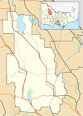
| Location |
| ||||||||||||||
| LGA(s) | Shire of Buloke | ||||||||||||||
| State electorate(s) | Mildura | ||||||||||||||
| Federal Division(s) | Mallee | ||||||||||||||
| |||||||||||||||
Teddywaddy post office opened on 1 August 1881, and was closed on 31 July 1973.[2]
References
- "VEC Locality Finder" (PDF). Retrieved 2 April 2012.
- Premier Postal History, Post Office List, retrieved 11 April 2008
This article is issued from Wikipedia. The text is licensed under Creative Commons - Attribution - Sharealike. Additional terms may apply for the media files.