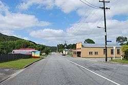
Taylorville, New Zealand
Taylorville is a small town on the banks of the Grey River, It is roughly 10 kilometers from the mouth of the river in Greymouth [1]
Taylorville | |
|---|---|
 Taylorville Road | |
 Taylorville | |
| Coordinates: 42°26′25.28″S 171°18′51.01″E | |
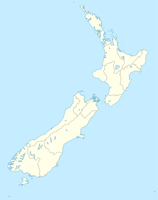
| Country | New Zealand |
| Region | West Coast |
| District | Grey District |
The local Taylorville swimming hole is popular for swimming and dog-walking, but West Coast Regional Council advises against swimming in it after heavy rain due to elevated levels of E. Coli.[2]
Taylorville is also right next to the historic Brunner Mine Site[3]
External links
![]()
References
- Taylorville Map | New Zealand Google Satellite Maps
- "Grey River Taylorville Swimming Hole". lawa.org.nz. Land, Air, Water Aotearoa.
- "Brunner Mine Site Walk". www.mhftowns.com. Retrieved 5 September 2019.
This article is issued from Wikipedia. The text is licensed under Creative Commons - Attribution - Sharealike. Additional terms may apply for the media files.