Ngahere
Ngahere is a locality in the Grey District of the West Coast of New Zealand's South Island.[1] The 2013 New Zealand census gave the population of Ngahere and its surrounding area as 363, an increase of 5.2% or 18 people since the 2006 census.[2]
Ngahere | |
|---|---|
 Ngahere | |
| Coordinates: 42°23′57″S 171°26′16″E | |
| Country | New Zealand |
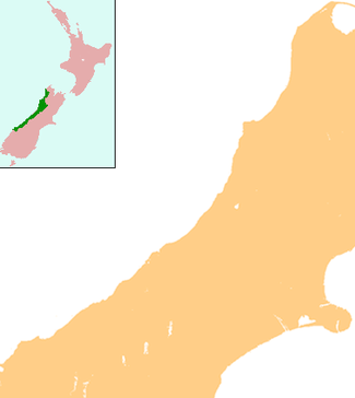
| Region | West Coast |
| District | Grey District |
| Population (2013) | |
| • Total | 363 |
Ngahere is located on the south bank of the Grey River, and State Highway 7 and the Stillwater - Westport Line (SWL) railway pass through the village. The railway reached Ngahere when an extension was built from Brunner on 1 August 1889, and it was the line's terminus until a further section to Ahaura was opened on 14 February 1890. On 1 August 1910, Ngahere became a railway junction when the Blackball Branch was opened, and this branch line operated until a flood in 1966 destroyed its bridge across the Grey River. The branch was formally closed on 21 February 1966.[3] The next year, passenger trains through Ngahere on the SWL were cancelled; since this time, freight trains of coal have been the predominant traffic through Ngahere.[4]
References
- "Place name detail: Ngahere". New Zealand Gazetteer. Land Information New Zealand. Retrieved 16 November 2007.
- 2013 Census QuickStats about a place : Nelson Creek-Ngahere
- New Zealand Railway and Tramway Atlas, fourth edition, edited by John Yonge (Essex: Quail Map Company, 1993), 22.
- Churchman & Hurst 2001, p. 191, 197.
Further reading
- Churchman, Geoffrey B; Hurst, Tony (2001) [1990, 1991]. The Railways of New Zealand: A Journey through History (Second ed.). Transpress New Zealand. ISBN 0-908876-20-3.