Taino, Lombardy
Taino (Italian pronunciation: [taˈiːno]) is a comune (municipality) in the Province of Varese in the Italian region Lombardy, located about 50 km northwest of Milan and about 20 km southwest of Varese. As of 31 December 2004, it had a population of 3,353 and an area of 7.7 km².[3]
Taino | |
|---|---|
| Comune di Taino | |
.svg.png) | |
Location of Taino 
| |
 Taino Location of Taino in Italy 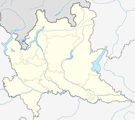 Taino Taino (Lombardy) | |
| Coordinates: 45°46′N 8°37′E | |
| Country | Italy |
| Region | Lombardy |
| Province | Province of Varese (VA) |
| Frazioni | Cheglio |
| Government | |
| • Mayor | Marco Mira Catò |
| Area | |
| • Total | 7.7 km2 (3.0 sq mi) |
| Elevation | 262 m (860 ft) |
| Population (Dec. 2004)[2] | |
| • Total | 3,353 |
| • Density | 440/km2 (1,100/sq mi) |
| Demonym(s) | Tainesi (dumìt in local dialect) |
| Time zone | UTC+1 (CET) |
| • Summer (DST) | UTC+2 (CEST) |
| Postal code | 21020 |
| Dialing code | 0331 |
| Website | Official website |
The municipality of Taino contains the frazione (subdivision) Cheglio (pronounced [ˈkeʎʎo]).
Taino borders the following municipalities: Angera, Sesto Calende.
Demographic evolution

gollark: Ah, but I can't use them for *web crawling*.
gollark: I'm probably going to use python, JS (the existing thing is in JS) or Nim for this.
gollark: I don't think HTTP supports this.
gollark: You can't read out of those
gollark: Unless I abuse all clients as proxies for doing crawling, but CORS...
References
- "Superficie di Comuni Province e Regioni italiane al 9 ottobre 2011". Istat. Retrieved 16 March 2019.
- "Popolazione Residente al 1° Gennaio 2018". Istat. Retrieved 16 March 2019.
- All demographics and other statistics: Italian statistical institute Istat.
This article is issued from Wikipedia. The text is licensed under Creative Commons - Attribution - Sharealike. Additional terms may apply for the media files.