Stanhope, Quebec
Stanhope is a Canadian village and community of Coaticook, Coaticook RCM, in the Estrie region of Quebec. Its population is less than 200 residents.
Stanhope | |
|---|---|
Community | |
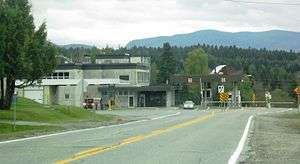 Stanhope border station | |
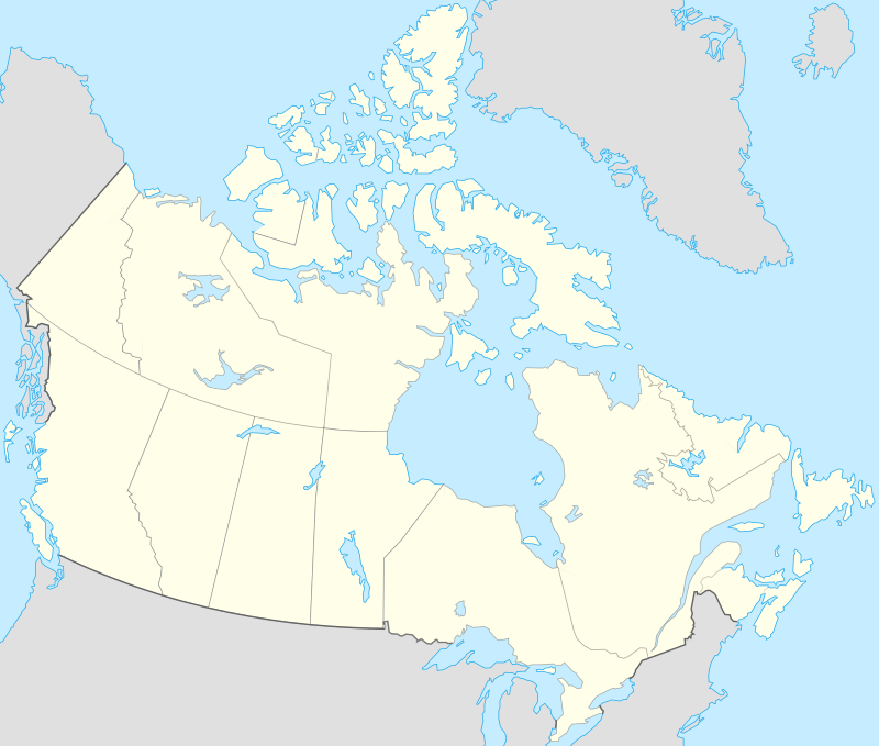 Stanhope Location in southern Quebec 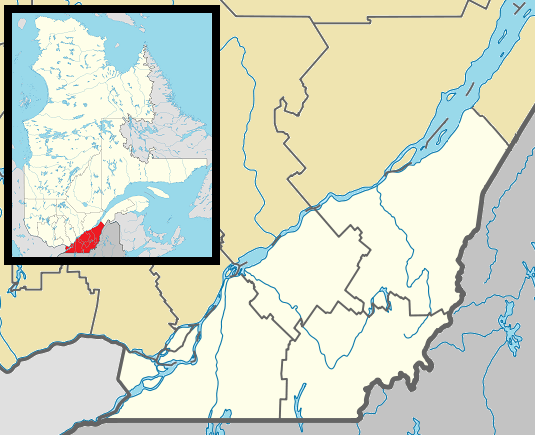 Stanhope Stanhope (Southern Quebec) | |
| Coordinates: 45°00′45.4″N 71°47′54.9″W | |
| Country | |
| Province | |
| Region | Estrie |
| RCM | Coaticook |
| Municipality | Coaticook |
| Elevation | 58 m (190 ft) |
| Population (2009) | |
| • Total | 200 (about) |
| Time zone | UTC−5 (EST[1]) |
| • Summer (DST) | UTC−4 (EDT[1]) |
| Postal code(s) | J1A |
| Area code(s) | 819[1] |
| Highways | |
History
The village was a separate community in the 1890s, later became part of Coaticook municipality.
Geography
Located on the Canada–United States border, in front of the town of Norton (Essex County, Vermont); Stanhope spans its residential area on a main road west of the Coaticook River, nearby the Montreal-Sherbrooke-Portland rail.[2] To the east is located the airport and, on the Quebec Route 147, the border control station.[3]
The village is 6 km far from Dixville, 14 from Coaticook, 24 from Canaan (Vermont), 27 from Stewartstown (New Hampshire), 30 from Brighton (Vermont) and 50 from Sherbrooke.
Transport
The village has a small private airport, is crossed by the Quebec Route 147 and by the St. Lawrence and Atlantic Railroad.
References
- Stanhope on roadsidethoughts.com
- 4644469745 Stanhope on OpenStreetMap
- Stanhope (CBSA)
External links
![]()
| Cities | |
|---|---|
| Municipalities | |
| Townships | |
| Communities | |
| |