Spice, West Virginia
Spice is an unincorporated community in Pocahontas County, West Virginia, United States. Spice is located on U.S. Route 219 3.5 miles (5.6 km) southwest of Hillsboro.
Spice, West Virginia | |
|---|---|
 Spice, West Virginia  Spice, West Virginia | |
| Coordinates: 38°06′36″N 80°15′59″W | |
| Country | United States |
| State | West Virginia |
| County | Pocahontas |
| Elevation | 3,002 ft (915 m) |
| Time zone | UTC-5 (Eastern (EST)) |
| • Summer (DST) | UTC-4 (EDT) |
| Area code(s) | 304 & 681 |
| GNIS feature ID | 1555682[1] |
History
A post office called Spice was established in 1912, and remained in operation until it was discontinued in 1943.[2] The community was named for the spices harvested in the hills.[3][4]
gollark: Polychoron manages the actual coroutines themselves, but you seem to be using other stuff.
gollark: What exactly *are* your "processes"?
gollark: I don't think you could do so without extremely hacky fiddling.
gollark: If you plan to use many it may be better to directly use peripheral.call.
gollark: Not apart from available memory I guess.
References
- U.S. Geological Survey Geographic Names Information System: Spice, West Virginia
- "Pocahontas County". Jim Forte Postal History. Retrieved 21 May 2015.
- Mockridge, Norton (Apr 22, 1971). "West Virginia Takes Name Prize". Toledo Blade. p. 29. Retrieved 21 May 2015.
- Kenny, Hamill (1945). West Virginia Place Names: Their Origin and Meaning, Including the Nomenclature of the Streams and Mountains. Piedmont, WV: The Place Name Press. p. 595.
Municipalities and communities of Pocahontas County, West Virginia, United States | ||
|---|---|---|
| Towns | 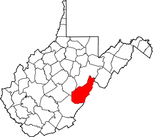 Map of West Virginia highlighting Pocahontas County | |
| CDPs | ||
| Unincorporated communities |
| |
| Ghost towns | ||
This article is issued from Wikipedia. The text is licensed under Creative Commons - Attribution - Sharealike. Additional terms may apply for the media files.