Slaty Fork, West Virginia
Slaty Fork is an unincorporated community in Pocahontas County, West Virginia, United States. Slaty Fork is located along U.S. Route 219 13.5 miles (21.7 km) north of Marlinton.
Slaty Fork, West Virginia | |
|---|---|
 Slaty Fork, West Virginia  Slaty Fork, West Virginia | |
| Coordinates: 38°24′59″N 80°07′36″W | |
| Country | United States |
| State | West Virginia |
| County | Pocahontas |
| Elevation | 2,684 ft (818 m) |
| Time zone | UTC-5 (Eastern (EST)) |
| • Summer (DST) | UTC-4 (EDT) |
| Area code(s) | 304 & 681 |
| GNIS feature ID | 1552924[1] |
A variant name was Laurel Bank.[2]
A large cave known as Sharps Cave is located in Slaty Fork.[3]
References
- "US Board on Geographic Names". United States Geological Survey. 2007-10-25. Retrieved 2008-01-31.
- Kenny, Hamill (1945). West Virginia Place Names: Their Origin and Meaning, Including the Nomenclature of the Streams and Mountains. Piedmont, WV: The Place Name Press. p. 586.
- National Speleological Society (1977). The NSS Bulletin.
Municipalities and communities of Pocahontas County, West Virginia, United States | ||
|---|---|---|
| Towns | 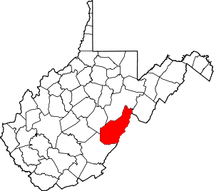 Map of West Virginia highlighting Pocahontas County | |
| CDPs | ||
| Unincorporated communities |
| |
| Ghost towns | ||
This article is issued from Wikipedia. The text is licensed under Creative Commons - Attribution - Sharealike. Additional terms may apply for the media files.