Soyo Airport
Soyo Airport (IATA: SZA, ICAO: FNSO) is an airport serving Soyo, a city in Zaire Province in Angola.
Soyo Airport | |||||||||||
|---|---|---|---|---|---|---|---|---|---|---|---|
| Summary | |||||||||||
| Airport type | Public | ||||||||||
| Operator | Government | ||||||||||
| Serves | Soyo | ||||||||||
| Elevation AMSL | 15 ft / 5 m | ||||||||||
| Coordinates | 6°8′27.8″S 12°22′18.6″E | ||||||||||
| Map | |||||||||||
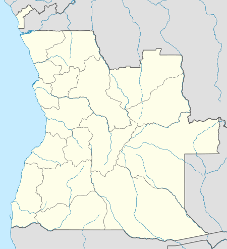 SZA Location of Airport in Angola | |||||||||||
| Runways | |||||||||||
| |||||||||||
The runway has an additional 150 metres (490 ft) displaced threshold on each end, for a total paved length of 2,122 metres (6,962 ft).
The Soyo non-directional beacon (Ident: SO) is located on the field.[5][6]
Airlines and destinations
| Airlines | Destinations |
|---|---|
| TAAG Angola Airlines | Luanda |
gollark: I don't know.
gollark: Also, you get the wonderful sounds reminiscent of dial-up internet.
gollark: Tapes are higher-capacity.
gollark: It can, actually.
gollark: ```lualocal ldt = require "./libdatatape"local td = peripheral.find "tape_drive" -- probablyldt.write_string(td, "print 'hello world!'")print(ldt.read_string(td)) -- prints the thing written there```
References
- Airport information for FNSO at World Aero Data. Data current as of October 2006.
- Airport information for SZA at Great Circle Mapper.
- "FNSO @ aerobaticsweb.org". Landings.com. Retrieved 31 July 2013.
- Google Maps - Soyo
- "Soyo NDB (SO) @ OurAirports". ourairports.com. Retrieved 27 July 2017.
- "SkyVector: Flight Planning / Aeronautical Charts". skyvector.com. Retrieved 27 July 2017.
External links
This article is issued from Wikipedia. The text is licensed under Creative Commons - Attribution - Sharealike. Additional terms may apply for the media files.