Saurimo Airport
Saurimo Airport (Portuguese: Aeroporto de Saurimo, (IATA: VHC, ICAO: FNSA)) is a public use airport serving the city of Saurimo in Lunda Sul Province, Angola. It was formerly known as Henrique de Carvalho Airport.
Saurimo Airport Henrique de Carvalho Airport | |||||||||||
|---|---|---|---|---|---|---|---|---|---|---|---|
| Summary | |||||||||||
| Airport type | Public | ||||||||||
| Serves | Saurimo | ||||||||||
| Elevation AMSL | 3,586 ft / 1,093 m | ||||||||||
| Coordinates | 9°41′20″S 20°25′55″E | ||||||||||
| Map | |||||||||||
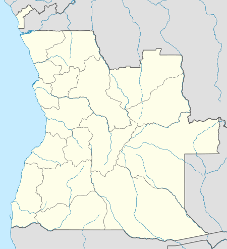 FNSA Location of Saurimo Airport in Angola | |||||||||||
| Runways | |||||||||||
| |||||||||||
The Saurimo VOR-DME (Ident: VSA) is located on the field. The Saurimo non-directional beacon (Ident: SA) is located 1.57 nautical miles (2,910 m) off the Runway 13 threshold.[4][5]
Airlines and destinations
| Airlines | Destinations |
|---|---|
| Fly Angola | Luanda |
| TAAG Angola Airlines | Luanda |
gollark: AutoBotRobot joinage when?
gollark: That would take at least 3 to download, see.
gollark: As I said, versonious forms.
gollark: It has self-update apiocity.
gollark: From the website.
References
- Airport record for Henrique de Carvalho Airport at Landings.com. Retrieved 2 September 2013
- Airport information for VHC at Great Circle Mapper.
- Google Maps - Saurimo
- "SkyVector: Flight Planning / Aeronautical Charts". skyvector.com. Retrieved 27 July 2017.
- "Saurimo NDB (SA) @ OurAirports". ourairports.com. Retrieved 27 July 2017.
External links
This article is issued from Wikipedia. The text is licensed under Creative Commons - Attribution - Sharealike. Additional terms may apply for the media files.