Ondjiva Pereira Airport
Ondjiva Pereira Airport (IATA: VPE, ICAO: FNGI) is an airport serving Ondjiva (alternate spellings: Ongiva, Ngiva, N'giva) in Cunene Province, Angola. The airport is 38 kilometres (24 mi) north of the Namibian border.
Ondjiva Pereira Airport Aeroporto 11 de Novembro | |||||||||||
|---|---|---|---|---|---|---|---|---|---|---|---|
| Summary | |||||||||||
| Airport type | Public | ||||||||||
| Operator | Government | ||||||||||
| Serves | Ondjiva | ||||||||||
| Elevation AMSL | 3,567 ft / 1,087 m | ||||||||||
| Coordinates | 17°2′35″S 15°41′00″E | ||||||||||
| Map | |||||||||||
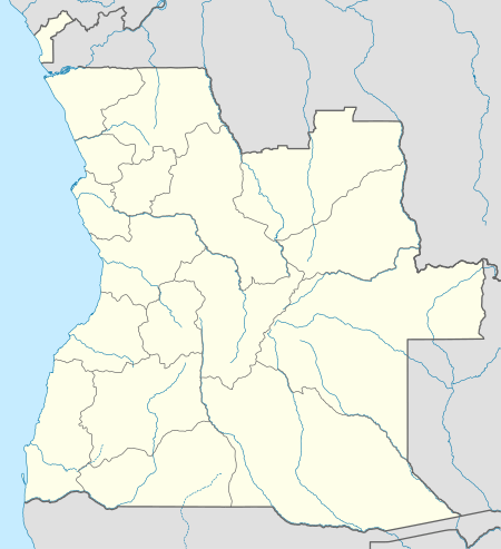
 FNGI Location of Ondjiva Pereira Airport in Angola | |||||||||||
| Runways | |||||||||||
| |||||||||||
The N'giva non-directional beacon (Ident: GI) is located on the field.[5]
Airlines and destinations
| Airlines | Destinations |
|---|---|
| SonAir | Luanda, Lubango |
| TAAG Angola Airlines | Catumbela, Huambo, Kuito, Luanda, Lubango, Menongue, Moçâmedes |
gollark: I'll probably take that, remove a bit to trim it down, and add a few mods I like.
gollark: It's a pretty nice modpack.
gollark: Maybe if you could do limited, slow automining, and there were big infrequent veins like in Gregtech we could actually get a cool transport network and stuff.
gollark: Mining is dull.
gollark: Normally I just make a magic quarrybox which produces ores from somewhere.
References
- Airport information for FNGI at World Aero Data. Data current as of October 2006.
- "FNGI @ aerobaticsweb.org". Landings.com. Retrieved 31 July 2013.
- Google Maps - Ngiva
- Airport information for VPE at Great Circle Mapper.
- "SkyVector: Flight Planning / Aeronautical Charts". skyvector.com. Retrieved 27 July 2017.
External links
- Accident history for Ondjiva Airport (VPE/FNGI) at Aviation Safety Network
- Accident history for Ngiva Airport (NGV/FNGI) at Aviation Safety Network
- OurAirports - Ngiva
- OpenStreetMap - Ngiva
- Current weather for FNGI at NOAA/NWS
This article is issued from Wikipedia. The text is licensed under Creative Commons - Attribution - Sharealike. Additional terms may apply for the media files.