As-Sultaniyah
As-Sultaniyah (Arabic: السلطانية) is a village in the Bint Jbeil District, in southern Lebanon, located just north of Tebnine. It was earlier called el Yehudiyeh.
As-Sultaniyah السلطانية | |
|---|---|
Village | |
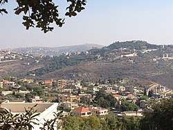 As-Sultaniyah | |
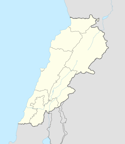 As-Sultaniyah Location within Lebanon | |
| Coordinates: 33°12′18″N 35°24′19″E | |
| Grid position | 188/290 PAL |
| Country | |
| Governorate | Nabatieh Governorate |
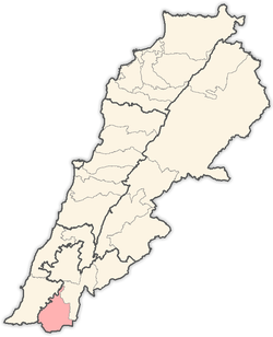
| District | Bint Jbeil District |
| Elevation | 600 m (2,000 ft) |
| Time zone | UTC+2 (EET) |
| • Summer (DST) | UTC+3 (EEST) |
Name
According to E. H. Palmer in 1881, El Yehûdîyeh meant "the Jews" or "Jewish woman."[1]
History
In 1881, the PEF's Survey of Western Palestine (SWP) described it as: "A small village, containing about 100 Metawileh, situated in a valley, with olives, figs, and arable land. There is a spring and cisterns at the village."[2] They further noted that south of the village was a perennial spring, built up with masonry.[3]
gollark: Deploying counterbees.
gollark: Ncurses, you have seen through my false "greeting".
gollark: Greetings, mortal!
gollark: We have 550 or so.
gollark: It is not "dead", we used very safe\* apiothaumaturgic resurrection things.
References
Bibliography
- Conder, C.R; Kitchener, H.H. (1881). The Survey of Western Palestine: Memoirs of the Topography, Orography, Hydrography, and Archaeology. 1. London: Committee of the Palestine Exploration Fund.
- Palmer, E.H. (1881). The Survey of Western Palestine: Arabic and English Name Lists Collected During the Survey by Lieutenants Conder and Kitchener, R. E. Transliterated and Explained by E.H. Palmer. Committee of the Palestine Exploration Fund.
External links
- Soultaniyeh, Localiban
- Survey of Western Palestine, Map 2: IAA, Wikimedia commons
Capital: Bint Jbeil | ||
| Towns and villages |
|  |
| Notable landmarks | ||
| Other sites | ||
This article is issued from Wikipedia. The text is licensed under Creative Commons - Attribution - Sharealike. Additional terms may apply for the media files.