Froun
Froun (Arabic: فرون) is a village in the Bint Jbeil District in southern Lebanon.
Froun فرون | |
|---|---|
village | |
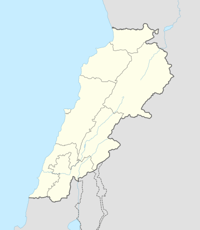 Froun Location within Lebanon | |
| Coordinates: 33°17′49″N 35°25′43″E | |
| Grid position | 121/151 L |
| Country | |
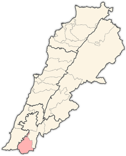
| Governorate | Nabatieh |
| District | Bint Jbeil |
| Elevation | 720 m (2,360 ft) |
| Time zone | UTC+2 (EET) |
| • Summer (DST) | UTC+3 (EEST) |
| Dialing code | +961 |
Name
According to E. H. Palmer, the name Furûn comes from "the ovens" or "reservoirs".[1]
History
In 1881, the PEF's Survey of Western Palestine (SWP) described it: "A village, built of stone, containing 100 Metawileh, situated on a hill and surrounded by small gardens and arable land. The water is supplied from rock-cut cisterns."[2]
gollark: Good luck.
gollark: Mostly, contributing code or reporting bugs.
gollark: Python is only used for auxiliary scripts. I don't need help there.
gollark: https://git.osmarks.tk/osmarks/potatOS#architecture
gollark: Are you NOT horrifyingly aware of the complexity of the PotatOS architecture?
Bibliography
- Conder, C.R.; Kitchener, H.H. (1881). The Survey of Western Palestine: Memoirs of the Topography, Orography, Hydrography, and Archaeology. 1. London: Committee of the Palestine Exploration Fund.
- Palmer, E.H. (1881). The Survey of Western Palestine: Arabic and English Name Lists Collected During the Survey by Lieutenants Conder and Kitchener, R. E. Transliterated and Explained by E.H. Palmer. Committee of the Palestine Exploration Fund.
External links
- Froun, Localiban
- Survey of Western Palestine, Map 2: IAA, Wikimedia commons
Capital: Bint Jbeil | ||
| Towns and villages |
|  |
| Notable landmarks | ||
| Other sites | ||
This article is issued from Wikipedia. The text is licensed under Creative Commons - Attribution - Sharealike. Additional terms may apply for the media files.