Siana
Siana is a city and a municipal board with 26 wards, situated in Siana tehsil in the district of Bulandshahr in the Indian state of Uttar Pradesh.The Name Siyana is now misspelled..During Mahabharata Period Lord krishna carried Rukmini from dwarika to His home town,He rested in forest(vana) Near Siyana..So it was called Shayana vana ..later Now it is Siyana.A Temple near Electric Power Station is Founded Called shyam bhoj mandir..
Siana Siyana | |
|---|---|
City | |
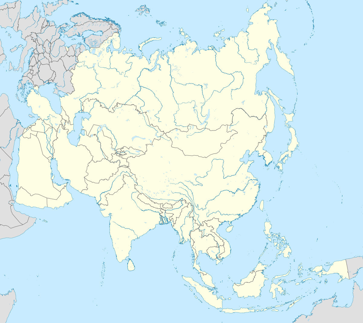
 Siana Location in Uttar Pradesh, India  Siana Siana (India)  Siana Siana (Asia) | |
| Coordinates: 28.626871°N 78.060737°E | |
| Country | |
| State | Uttar Pradesh |
| District | Bulandshahr |
| Named for | Lord Krishna |
| Elevation | 216.144 m (709.134 ft) |
| Population (2011) | |
| • Total | 86,842 |
| Language | |
| • Official | Hindi[1] |
| • Additional official | Urdu[1] |
| Time zone | UTC+5:30 (IST) |
| Area code(s) | +05736 |
| Vehicle registration | UP13 |
| Sub-district code | 000747 |
| Lok Sabha constituency | Bulandshahr |
| Assembly constituency | Syana |
Siyana is well connected to District Headquarter Bulandshahar By SH 65 with frequent Private Bus service as well By UP Roadways & Other States Roadways Bus services..
Garhmukteshwar is holy town which is about 19 km from siyana and is Railway Station..
Simbholi is another railway station which is 16 km from siyana..
There is no any degree college in town but siyana degree college ghansoorpur and Chingrqothi girls degree college are near to siyana..In siyana various English medium play achools & secondary as well Senior secondary schools are located...
S
Demographics
As of 2001 India census,[2] Siana had a population of 146,269. Males constitute 53% of the population and females 47%. Siana has an average literacy rate of 53%, lower than the national average of 59.5%: male literacy is 63%, and female literacy is 43%. In Siana, 18% of the population is under 6 years of age.
Location
Siana is located:
- 101 km from India's capital New Delhi
- 62 km from the Meerut
- 33 km from district headquarters Bulandshahr
- 434 km from state capital Lucknow
- 19 km from the holy Garhmukteshwar (Garh Ganga)
References
- "52nd REPORT OF THE COMMISSIONER FOR LINGUISTIC MINORITIES IN INDIA" (PDF). nclm.nic.in. Ministry of Minority Affairs. Archived from the original (PDF) on 25 May 2017. Retrieved 6 March 2019.
- "Census of India 2001: Data from the 2001 Census, including cities, villages and towns (Provisional)". Census Commission of India. Archived from the original on 16 June 2004. Retrieved 1 November 2008.