Shivwits, Utah
Shivwits is a small unincorporated community in west-central Washington County, Utah, United States.[1] It is occupied by the Shivwits Band of Paiutes.
Shivwits, Utah | |
|---|---|
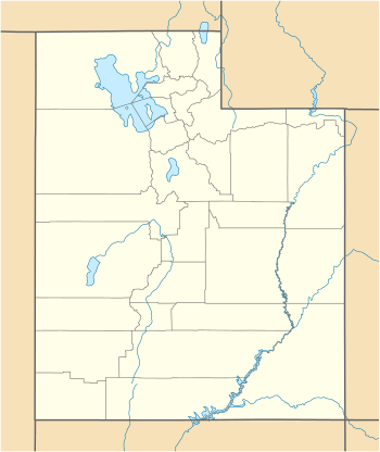 Shivwits Location of Shivwits within the State of Utah  Shivwits Shivwits (the United States) | |
| Coordinates: 37°10′52″N 113°45′27″W | |
| Country | United States |
| State | Utah |
| County | Washington |
| Elevation | 3,202 ft (976 m) |
| Time zone | UTC-7 (Mountain (MST)) |
| • Summer (DST) | UTC-6 (MDT) |
| GNIS feature ID | 1437683[1] |
Description
The community is located along the Santa Clara River and the former routing of U.S. Route 91 within the Shivwits Reservation, northeast of the Beaver Dam Mountains and southwest of the Red Mountains.[2][3]
gollark: It's probably just green until you sacrifice your soul to Ba'al the Soul-Eater, at which point you can get other colours.
gollark: Blaming TJ09 is more fun.
gollark: TJ09 must show off his 1337 c0dez.
gollark: Of course not.
gollark: All dragons are green and you can only get other ones if there's a bug.
See also
![]()
References
- "Shivwits". Geographic Names Information System. United States Geological Survey.
- "MyTopo Maps - Shivwits, UT, USA" (Map). mytopo.com. Trimble Navigation, Ltd. Retrieved 16 Mar 2018.
- Van Cott, John W. (1990). Utah Place Names: A Comprehensive Guide to the Origins of Geographic Names: A Compilation. Salt Lake City: University of Utah Press. p. 339. ISBN 978-0-87480-345-7. OCLC 797284427. Retrieved 16 Mar 2018.
External links
![]()
Municipalities and communities of Washington County, Utah, United States | ||
|---|---|---|
| Cities | 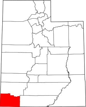 Map of Utah highlighting Washington County | |
| Towns | ||
| CDPs | ||
| Unincorporated communities | ||
| Ghost towns | ||
| Indian reservation | ||
| Footnotes | ‡This populated place also has portions in an adjacent county or counties | |
This article is issued from Wikipedia. The text is licensed under Creative Commons - Attribution - Sharealike. Additional terms may apply for the media files.