Shackleton, Western Australia
Shackleton is a small town in the Wheatbelt region of Western Australia.
| Shackleton Western Australia | |
|---|---|
.jpg) Shackleton Memorial Hall, 2018 | |
 Shackleton | |
| Coordinates | 31°56′00″S 117°50′00″E |
| Population | 142 (2006 census)[1] |
| Established | 1951 |
| Postcode(s) | 6386 |
| Elevation | 249 m (817 ft) |
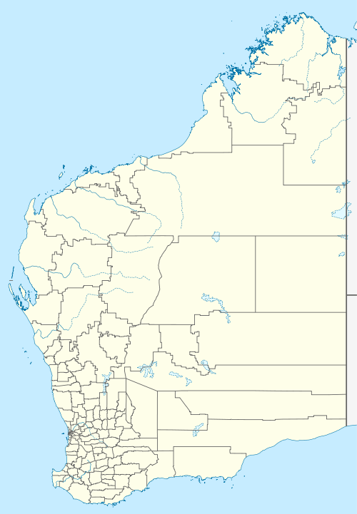
| Location |
|
| LGA(s) | Shire of Bruce Rock |
| State electorate(s) | Central Wheatbelt |
| Federal Division(s) | O'Connor |
The town is located close to the Salt River and along the disused railway line between Bruce Rock and Quairading.
The 2016 population was 96.[2]
Originally a railway siding for the railway line when constructed in 1913, the town was developed privately before being gazetted in 1951. The town is named after the Antarctic explorer Ernest Shackleton.[3]
The local Agricultural Hall was officially opened in 1920 by Mr. H. Griffiths MLA; it was built on land provided by Dr. Germyn.[4]
The Bankwest branch in the town claimed to be the world's smallest bank. The building measures 3 by 4 metres (10 by 13 ft), but was closed in 1997.[5]
The surrounding areas produce wheat and other cereal crops. The town is a receival site for Cooperative Bulk Handling.[6]
The town had an Australian rules football team from 1925 to 1970 before it disbanded.
References
- Australian Bureau of Statistics (25 October 2007). "Shackelton (State Suburb)". 2006 Census QuickStats. Retrieved 12 October 2008.
- http://www.censusdata.abs.gov.au/census_services/getproduct/census/2016/quickstat/SSC51330?opendocument
- Western Australian Land Information Authority. "History of country town names – S". Retrieved 12 October 2008.
- "Country". The West Australian. Perth: National Library of Australia. 8 May 1920. p. 9. Retrieved 2 October 2013.
- "Shire of Bruce Rock – Shackleton Bank". 2005. Retrieved 12 October 2008.
- "CBH receival sites" (PDF). 2011. Archived from the original (PDF) on 18 March 2012. Retrieved 1 April 2013.