Congelin, Western Australia
Congelin is a locality in the Wheatbelt region of Western Australia, north of Williams. It is located within the Shire of Williams.
| Congelin Western Australia | |
|---|---|
 Congelin | |
| Coordinates | 32.85°S 116.89°E |
| Established | 1913 |
| Postcode(s) | 6391 |
| Elevation | 278 m (912 ft) |
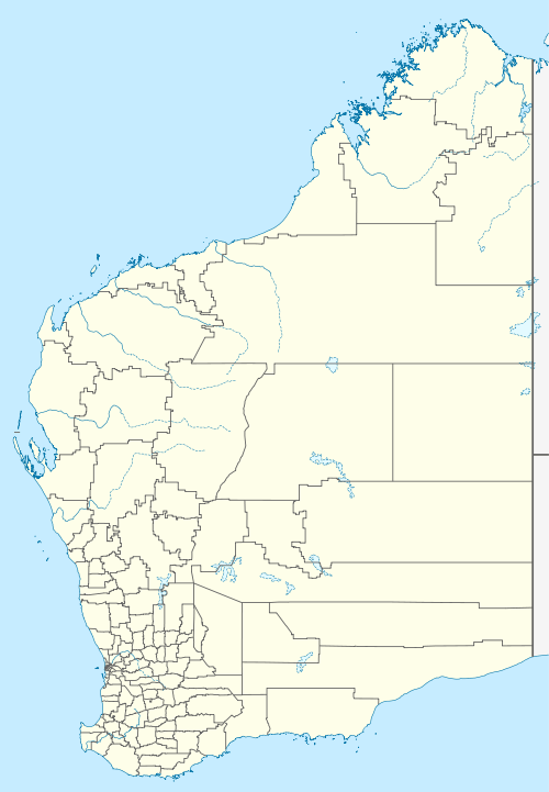
| Location |
|
| LGA(s) | Shire of Williams |
| State electorate(s) | Roe |
| Federal Division(s) | O'Connor |
History
The townsite was requested by the 14 Mile Brook Progress Association in 1911. The name, derived from a nearby pool, is of Aboriginal origin but its meaning is unknown. Gazetted in 1913,[1] the town did not develop and to this day remains a sparsely populated agricultural area on the edge of the Darling Scarp. Plans by the Shire of Williams to seal its part of the Congelin-Narrogin road are in progress.
gollark: `build` just prints out a bunch of metadata loaded from the `potatOS` API and registry.
gollark: No, I'm not doing that, that would be horrible and no.
gollark: PotatOS Tau uses compression for that, PotatOS Hypercycle will probably do roughly what you said.
gollark: I *was* going to do that for `/bin`, except for the last bit.
gollark: Hmm, it seems that `os.date` can, neat.
References
- Western Australian Land Information Authority. "History of country town names – C". Retrieved 25 March 2007.
This article is issued from Wikipedia. The text is licensed under Creative Commons - Attribution - Sharealike. Additional terms may apply for the media files.