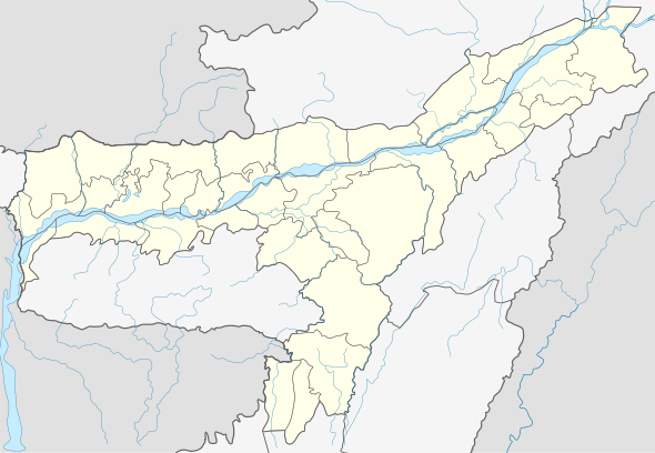
Sarupeta
Sarupeta is a town in Barpeta district, India.[1] The town is located 90 kilometres (56 mi) north west of Gauhati.
Sarupeta | |
|---|---|
town | |
 Sarupeta Location in Assam, India  Sarupeta Sarupeta (India) | |
| Coordinates: 26.49°N 91.07°E | |
| Country | |
| State | Assam |
| District | Barpeta |
| Government | |
| • Type | Gain Panchayat |
| • Body | Gain Panchayat |
| Elevation | 35 m (115 ft) |
| Population (2001) | |
| • Total | 41,175 |
| Languages | |
| • Official | Assamese |
| Time zone | UTC+5:30 (IST) |
| PIN | 781318 |
| Vehicle registration | As-15-X-XXXX |
| Website | barpeta |
Etymology
The word Sarupeta derives from "Saru" meaning small and "Peta" meaning pond, thus Sarupeta means "land of small ponds".
Geography
It is located at 26.49°N 91.07°E. It has an average elevation of 35 metres (114 feet). It is 44 km away from Manas National Park.
gollark: https://eng.uber.com/neural-networks-jpeg/
gollark: Uber had a blog post somewhere on feeding data from partway through JPEG decompression to a CNN, which apparently worked okay.
gollark: Did anyone try mixing efficient and normal attention things in different layers?
gollark: I had to fix my nickname, which was wrong.
gollark: I totally could, I'm very trustworthy.
References
- "SARUPETA, BARPETA, ASSAM". pincode.org.in. Retrieved 18 September 2015.
External links
This article is issued from Wikipedia. The text is licensed under Creative Commons - Attribution - Sharealike. Additional terms may apply for the media files.