Uzankuri
Uzankuri is a village in Kamrup rural district, situated in south bank of river Brahmaputra.[1]
Uzankuri | |
|---|---|
Village | |
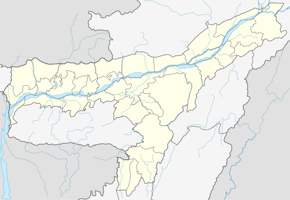
 Uzankuri Location in Assam, India  Uzankuri Uzankuri (India) | |
| Coordinates: 26.20°N 91.49°E | |
| Country | |
| State | Assam |
| Region | Western Assam |
| District | Kamrup |
| Government | |
| • Body | Gram panchayat |
| Elevation | 42 m (138 ft) |
| Languages | |
| • Official | Assamese |
| Time zone | UTC+5:30 (IST) |
| PIN | 781102 |
| ISO 3166 code | IN-AS |
| Vehicle registration | AS |
| Website | kamrup |
Transport
The village is near National Highway 37 and connected to nearby towns and cities with regular buses and other modes of transportation.
gollark: I feel like if we had saner institutions it would probably be possible to mass-manufacture better-quality masks eventually (it's been two-ish months since COVID-19 got to "obviously a bad problem" levels), but we... haven't really?
gollark: Yes, that seems to mostly concur with what I read.
gollark: Wait, are we talking homemade masks, surgical masks, or actual respirator things?
gollark: It seems a good idea complicated by the issues of actually getting enough and the early insistence by some dodecahedra that MaSkS DoN'T woRk.
gollark: Still, we can't *stay* in lockdown for an indefinite amount of time, it definitely has to be a temporary thing, and there seems to be a distinct lack of plans for dealing with COVID-19 after that.
See also
References
- "Uzankuri". pincode.org.in. Retrieved 29 April 2015.
This article is issued from Wikipedia. The text is licensed under Creative Commons - Attribution - Sharealike. Additional terms may apply for the media files.