Sarasara, Uttar Pradesh
Sarasara is a village in Badlapur, Jaunpur district, Uttar Pradesh, India.
Sarasara | |
|---|---|
Village | |
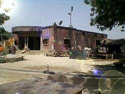 House in Sarasara | |
 Sarasara Location in Uttar Pradesh, India | |
| Coordinates: 25.80°N 82.41°E | |
| Country | India |
| State | Uttar Pradesh |
| District | Jaunpur District |
| Tehsil | Badlapur |
| Elevation | 82 m (269 ft) |
| Population (2011) | |
| • Total | 841 |
| Languages | |
| • Official | Hindi |
| Time zone | UTC+5:30 (IST) |
| PIN | 222141 |
Geography
Sarasara is located at 25.80°N 82.41°E.[1]
It has an average elevation of 82 metres. It has been assigned 222141 pincode by Indian postal services.[2]
Demographics
As of the 2011 Indian census, Sarsara had a population of 841.[3]
gollark: But you're stuck with the bad name for ages and you have to update so much ~~remote configuration~~ paperwork.
gollark: … why is it not working over IPv6
gollark: QUIC established. Safety tends towards 0.
gollark: That's not what they're suggesting. Humans demonstrably have somewhat time dependent behaviour.
gollark: I'm trying to compile a QUIC client to test osmarks.net QUIC support but aaaaa all is bees.
References
This article is issued from Wikipedia. The text is licensed under Creative Commons - Attribution - Sharealike. Additional terms may apply for the media files.