San José Airport (Las Perlas)
San José Airport (IATA: SIC) is an airport serving the island of San José, in the Pearl Islands archipelago of Panama.
San José Airport | |||||||||||
|---|---|---|---|---|---|---|---|---|---|---|---|
| Summary | |||||||||||
| Serves | San José Island | ||||||||||
| Location | Panamá Province | ||||||||||
| Elevation AMSL | 130 ft / 40 m | ||||||||||
| Coordinates | 8°15′45″N 79°04′40″W | ||||||||||
| Map | |||||||||||
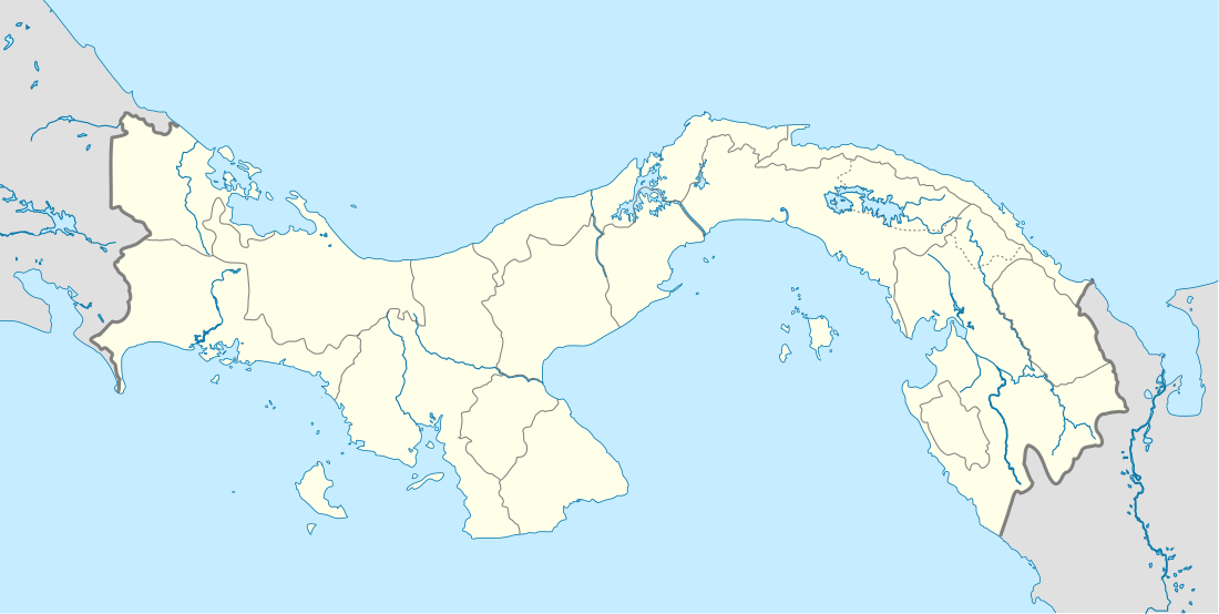
 SIC Location of the airport in Panama | |||||||||||
| Runways | |||||||||||
| |||||||||||
The east approach and departure are over water and an overrun on the east end terminates with a steep drop into the ocean.
The Taboga Island VOR-DME (Ident: TBG) is located 42.8 nautical miles (79 km) northwest of the airport.[3]
Airlines and destinations
| Airlines | Destinations |
|---|---|
| Air Panama | San José |
gollark: It does seem to be quite laggy, <@184468521042968577>, so if you could add some options to reduce server load?
gollark: I expect it'll be everywhere within a few days.
gollark: I'd just like to say that <@184468521042968577>'s new "shatter" thing (https://github.com/hugeblank/Shatter) is great, too. It's basically a terminal on your overlay glasses with mouse support.
gollark: I use that with a storage centralization system I wrote; very convenient!
gollark: Or plethora item transfer?
See also


- Transport in Panama
- List of airports in Panama
References
- "San José Airport". HERE Maps. Retrieved 14 November 2018.
- Airport information for San José Airport at Great Circle Mapper.
- "Taboga Island VOR". Our Airports. Retrieved 12 November 2018.
External links
- Open Street Map - San José Airport
- OurAirports - San José Island Airport
- FallingRain - San José Island Airport
This article is issued from Wikipedia. The text is licensed under Creative Commons - Attribution - Sharealike. Additional terms may apply for the media files.