Playón Chico Airport
Playón Chico Airport (IATA: PYC) is an airport serving Ukupseni, an island in the San Blas Archipelago in the Guna Yala comarca (indigenous province) of Panama.
Playón Chico Airport | |||||||||||
|---|---|---|---|---|---|---|---|---|---|---|---|
| Summary | |||||||||||
| Airport type | Public | ||||||||||
| Serves | Ukupseni, Guna Yala, Panama | ||||||||||
| Elevation AMSL | 18 ft / 5 m | ||||||||||
| Coordinates | 9°18′35″N 78°14′05″W | ||||||||||
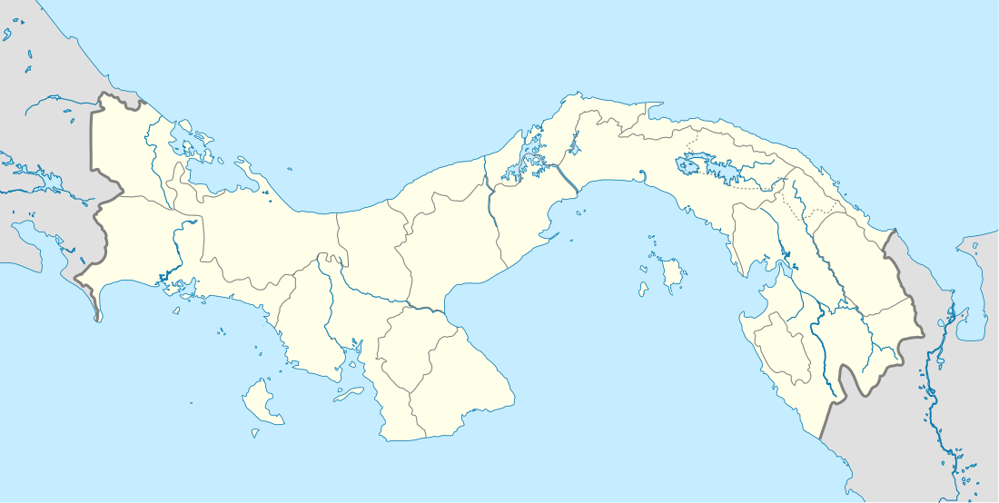
| Map | |||||||||||
 PYC Location in Panama | |||||||||||
| Runways | |||||||||||
| |||||||||||
The airport is on the mainland, connected to the island by a bridge. North approach and departure are over the water. There is rising terrain 1 kilometre (0.6 mi) south of the runway.
The La Palma VOR is located 54.0 nautical miles (100 km) south of the airport.[3]
Airlines and destinations
| Airlines | Destinations |
|---|---|
| Air Panama | Panama City-Albrook |
gollark: But Compact Machines!
gollark: Me, the Flying Spaghetti Monster, spaceghoti?
gollark: To which god do you swear?
gollark: *hides the evidence*
gollark: Oopsie!
See also


- Transport in Panama
- List of airports in Panama
References
- Airport information for Playón Chico Airport at Great Circle Mapper.
- "Playon Chico Airport". Bing Maps. Microsoft. Retrieved 29 August 2018.
- "La Palma VOR". Our Airports. Retrieved 4 December 2018.
External links
- OpenStreetMap - Playón Chico
- Ukupseni/Playón Chico information on Minube
- Panoramio - Aerial view
- Panoramio - Aerial view
- Accident history for Playon Chico Airport at Aviation Safety Network
This article is issued from Wikipedia. The text is licensed under Creative Commons - Attribution - Sharealike. Additional terms may apply for the media files.