Pedasí Airport
Pedasí Airport (IATA: PDM) is an airport serving the town of Pedasí, in Panama. It parallels the Pacific coastline 2 kilometres (1 mi) north of the town.
Pedasí Airport Capt. J. Montenegro Airport | |||||||||||
|---|---|---|---|---|---|---|---|---|---|---|---|
| Summary | |||||||||||
| Serves | Pedasí, Panama | ||||||||||
| Location | Los Santos Province | ||||||||||
| Elevation AMSL | 33 ft / 10 m | ||||||||||
| Coordinates | 7°33′25″N 80°01′25″W | ||||||||||
| Map | |||||||||||
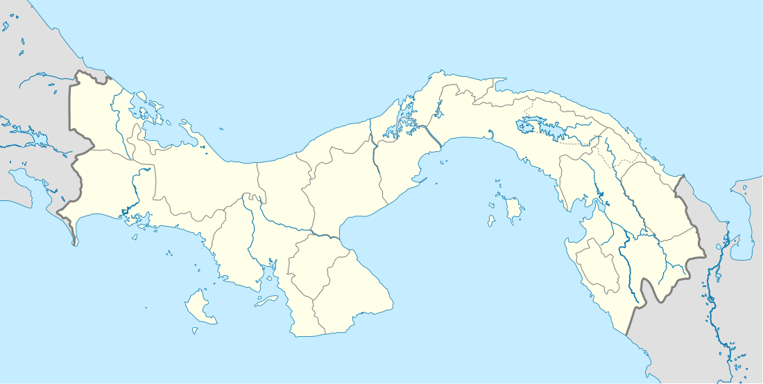
 PDM Location of the airport in Panama | |||||||||||
| Runways | |||||||||||
| |||||||||||
It replaces the original Cap. Justiniano Montenegro Airport (ICAO: MPPD), which was 1.6 kilometres (1 mi) northwest of the town.[4]
The Rio Hato VOR-DME (Ident: RHT) is located 49.2 nautical miles (91 km) north of Pedasí Airport.[4]
Airlines and destinations
| Airlines | Destinations |
|---|---|
| Air Panama | Panama City-Albrook |
gollark: The best part is that the counter is globally shared, so everyone sees the same value, excepting a bit of network lag.
gollark: It's an exciting game on my website where you *inc*rement a counter, or *dec*rement a counter.
gollark: How about something like https://osmarks.tk/incdec/ ?
gollark: `type` calls it that, if I remember right, yes.
gollark: Oh, and bools.
See also


- Transport in Panama
- List of airports in Panama
References
- Google Maps - Pedasí
- Cap Justiniano Montenegro Airport
- Airport information for Cap Justiniano Montenegro Airport at Great Circle Mapper.
- "Old Cap. Justiniano Montenegro Airport". SkyVector. Retrieved 7 December 2018.
External links
- OpenStreetMap - Pedasi
- OurAirports - Capt Justiniano Montenegro Airport
- YouTube - Landing at Pedasi
- Google Earth
This article is issued from Wikipedia. The text is licensed under Creative Commons - Attribution - Sharealike. Additional terms may apply for the media files.