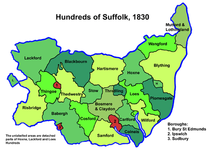
Samford Hundred
Samford was a hundred of Suffolk, consisting of 44,940 acres (181.9 km2). It was situated to the south and south west of Ipswich.
The hundred was bounded by the River Orwell to the east, Essex to the south, the River Brett (and Shelley parish) to the west, and the parish boundaries of Burstall, Hintlesham and Sproughton to the north.
Parishes
Suffolk hundreds
Samford Hundred consisted of the following 28 parishes:[1]
| Parish | Area (acres) |
|---|---|
| Belstead | 1012 |
| Bentley | 2801 |
| Brantham | 1922 |
| Burstall | 766 |
| Capel St Mary | 1910 |
| Chattisham | 714 |
| Chelmondiston | 1293 |
| Copdock | 932 |
| East Bergholt | 3064 |
| Erwarton | 1318 |
| Freston | 1414 |
| Great Wenham | 1108 |
| Harkstead | 1727 |
| Higham | 863 |
| Hintlesham | 2828 |
| Holbrook | 2203 |
| Holton St Mary | 810 |
| Little Wenham | 970 |
| Raydon | 2335 |
| Shelley | 928 |
| Shotley | 2051 |
| Sproughton | 2380 |
| Stratford St Mary | 1432 |
| Stutton | 2138 |
| Tattingstone | 1637 |
| Washbrook | 1414 |
| Wherstead | 2019 |
| Woolverstone | 951 |
gollark: Releasing bees into apiomemetic mainframe... now.
gollark: Thus, Gibson is 998242295.
gollark: `parseInt("gibson", 36)` → 998242295.
gollark: No, that's wrong.
gollark: Yes, exactly. Consider:
References
- 1841 Census
This article is issued from Wikipedia. The text is licensed under Creative Commons - Attribution - Sharealike. Additional terms may apply for the media files.