Sainte-Lucie-de-Beauregard, Quebec
Sainte-Lucie-de-Beauregard is a municipality in Quebec.
Sainte-Lucie-de-Beauregard | |
|---|---|
Municipality | |
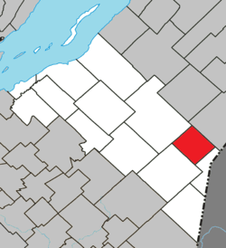 Location within Montmagny RCM. | |
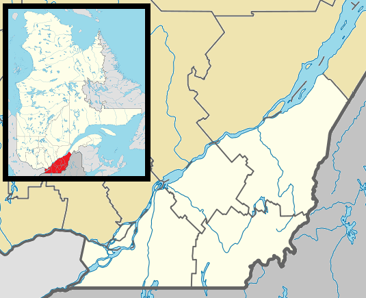 Sainte-Lucie-de-Beauregard Location in southern Quebec. | |
| Coordinates: 46°44′N 70°01′W[1] | |
| Country | |
| Province | |
| Region | Chaudière-Appalaches |
| RCM | Montmagny |
| Constituted | November 18, 1924 |
| Government | |
| • Mayor | Louis Lachance |
| • Federal riding | Montmagny—L'Islet— Kamouraska—Rivière- du-Loup |
| • Prov. riding | Côte-du-Sud |
| Area | |
| • Total | 81.80 km2 (31.58 sq mi) |
| • Land | 82.46 km2 (31.84 sq mi) |
| There is an apparent contradiction between two authoritative sources | |
| Population (2011)[3] | |
| • Total | 304 |
| • Density | 3.7/km2 (10/sq mi) |
| • Pop 2006-2011 | |
| • Dwellings | 183 |
| Time zone | UTC−5 (EST) |
| • Summer (DST) | UTC−4 (EDT) |
| Postal code(s) | G0R 3L0 |
| Area code(s) | 418 and 581 |
| Highways | |
| Website | www.saintelucie debeauregard.com |
See also
- L'Islet Regional County Municipality
- Big Black River (Saint John River), a river
- List of municipalities in Quebec
References
- Reference number 56249 of the Commission de toponymie du Québec (in French)
- Geographic code 18020 in the official Répertoire des municipalités (in French)
- "(Code 2418020) Census Profile". 2011 census. Statistics Canada. 2012.
Adjacent Municipal Subdivisions | ||||||||||
|---|---|---|---|---|---|---|---|---|---|---|
| ||||||||||
| Cities & Towns | |
|---|---|
| Municipalities | |
| Parishes |
|
| |
| Authority control |
|
|---|
This article is issued from Wikipedia. The text is licensed under Creative Commons - Attribution - Sharealike. Additional terms may apply for the media files.