Saint-Apollinaire, Quebec
Saint-Apollinaire is a municipality in the Municipalité régionale de comté de Lotbinière in Quebec, Canada. It is part of the Chaudière-Appalaches region and the population is 6,110 as of 2016. It is named after Saint Apollinaris (French: Saint Apollinaire).
Saint-Apollinaire | |
|---|---|
Municipality | |
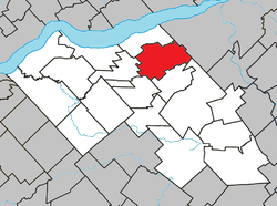 Location within Lotbinière RCM. | |
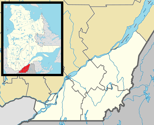 Saint-Apollinaire Location in southern Quebec. | |
| Coordinates: 46°37′N 71°31′W[1] | |
| Country | |
| Province | |
| Region | Chaudière-Appalaches |
| RCM | Lotbinière |
| Constituted | April 6, 1974 |
| Government | |
| • Mayor | Ginette Moreau |
| • Federal riding | Lévis—Lotbinière |
| • Prov. riding | Lotbinière-Frontenac |
| Area | |
| • Land | 96.95 km2 (37.43 sq mi) |
| Population (2016)[3] | |
| • Total | 6,110 |
| • Density | 63.0/km2 (163/sq mi) |
| • Pop 2011-2016 | |
| • Dwellings | 2,586 |
| Time zone | UTC−5 (EST) |
| • Summer (DST) | UTC−4 (EDT) |
| Postal code(s) | G0S 2E0 |
| Area code(s) | 418 and 581 |
| Highways | |
| Website | www |
History
The area was settled starting in 1850 and Saint-Apollinaire was founded in 1855, after the territory was detached from Saint-Antoine-de-Tilly. In 1974, the village of Francœur joined the municipality, giving it its current shape.
gollark: Seriously? My fonts don't have Unicode 13 support yet?!
gollark: Yes, I'm aware, I said "slightly".
gollark: It's very ethical because we were able to use science™ to rebind the definitions of ethics to be cooler.
gollark: I can also see things, using the global apioform monitoring/surveillance network.
gollark: Great!
References
- Reference number 55653 of the Commission de toponymie du Québec (in French)
- Geographic code 33090 in the official Répertoire des municipalités (in French)
- "Census Profile, 2016 Census". 2016 Census. Statistics Canada.
- Commission de toponymie du Québec: Saint-Apollinaire (in French)
- Ministère des Affaires municipales, des Régions et de l'Occupation du territoire (in French)
Places adjacent to Saint-Apollinaire, Quebec | ||||||||||
|---|---|---|---|---|---|---|---|---|---|---|
| ||||||||||
| Municipalities |
|
|---|---|
| Parishes | |
| Villages | |
| |
| Authority control |
|
|---|
This article is issued from Wikipedia. The text is licensed under Creative Commons - Attribution - Sharealike. Additional terms may apply for the media files.