Rostoul River
The Rostoul River is a river in the Unorganized Part of Kenora District in Northwestern Ontario, Canada.[1][3][4][5][6] It is in the Hudson Bay drainage basin, is a left tributary of the Gammon River, and is within Woodland Caribou Provincial Park.[4]
| Rostoul River | |
|---|---|
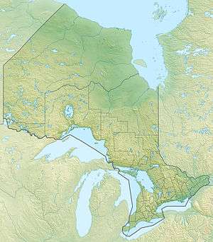 Location of the mouth of the creek in Ontario | |
| Location | |
| Country | Canada |
| Province | Ontario |
| Region | Northwestern Ontario |
| District | Kenora |
| Part | Unorganized Kenora District |
| Physical characteristics | |
| Source | Embryo Lake |
| • coordinates | 50°56′59″N 94°24′46″W[1] |
| • elevation | 381 m (1,250 ft)[2] |
| Mouth | Rostoul Lake |
• coordinates | 50°59′02″N 94°49′39″W[3] |
• elevation | 337 m (1,106 ft)[2] |
| Basin features | |
| River system | Hudson Bay drainage basin |
Course
The river begins at Embryo Lake and flows southwest to the north side of Telescope Lake, then leaves that lake at the west and heads west in the direction of Optic Lake, arriving at that lake's northeast end. It leaves the lake at the west and heads southwest to the southeast end of Glenn Lake, then leaves that lake at the northwest heading west to the southeast end of Hansen Lake, where it takes in the right tributary Domain Creek. The river leaves Hansen Lake at the northwest and heads northwest to the southeast end of Rostoul Lake, where it takes in the left tributary Haven Creek, then flows north and reaches its mouth on the south side of Hammerhead Lake on the Rostoul River. The Rostoul River flows via the Gammon River, the Bloodvein River, Lake Winnipeg, and the Nelson River to Hudson Bay.[1][3][4]
References
- "Toporama (on-line map and search)". Atlas of Canada. Natural Resources Canada. Retrieved 2018-08-28.
- "Google Earth". Retrieved 2018-08-28.
- "Rostoul River". Geographical Names Data Base. Natural Resources Canada. Retrieved 2018-08-28.
- "Ontario Geonames GIS (on-line map and search)". Ontario Ministry of Natural Resources and Forestry. 2014. Retrieved 2018-08-28.
- Map 16 (PDF) (Map). 1 : 1,600,000. Official road map of Ontario. Ministry of Transportation of Ontario. 2016-01-01. Retrieved 2018-08-28.
- Restructured municipalities - Ontario map #1 (Map). Restructuring Maps of Ontario. Ontario Ministry of Municipal Affairs and Housing. 2006. Retrieved 2018-08-28.