Koster, North West
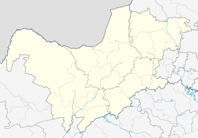
Koster is a small farming town situated on the watershed between the Orange and Limpopo Rivers in North West Province of South Africa.
Koster | |
|---|---|
 Koster  Koster | |
| Coordinates: 25°52′S 26°54′E | |
| Country | South Africa |
| Province | North West |
| District | Bojanala Platinum |
| Municipality | Kgetlengrivier |
| Government | |
| • Type | Municipal Council |
| • Mayor | (ANC) |
| Area | |
| • Total | 21.12 km2 (8.15 sq mi) |
| Population (2011)[1] | |
| • Total | 19,499 |
| • Density | 920/km2 (2,400/sq mi) |
| Racial makeup (2011) | |
| • Black African | 89.6% |
| • Coloured | 1.2% |
| • Indian/Asian | 0.5% |
| • White | 7.5% |
| • Other | 1.2% |
| First languages (2011) | |
| • Tswana | 79.2% |
| • Afrikaans | 7.6% |
| • English | 3.6% |
| • Zulu | 1.5% |
| • Other | 8.1% |
| Time zone | UTC+2 (SAST) |
| Postal code (street) | 0348 |
| PO box | 0348 |
| Area code | 014 |
History
The town was proclaimed in 1913 and named after Bastiaan Koster, the original farm owner. Koster means "bellringer".
Geography
Town 58 km south-west of Rustenburg and 72 km west-north-west of Magaliesburg. It was founded on the farm Kleinfontein in 1913, and has been administered by a village council since January 1931. Said to have been named either after Dr Herman Jacob Coster (1866-1899), State Attorney of the South African Republic, after its surveyor, or after Bastiaan Hendricus Koster, owner of the farm Kleinfontein. The latter explanation seems most plausible.[2]
The Elands River, the Koster River and the Mooi River have their sources near the town.[3]
References
- Sum of the Main Places Reagile and Koster from Census 2011.
- "Dictionary of Southern African Place Names (Public Domain)". Human Science Research Council. p. 260.
- Koster - Visit South Africa Archived 2012-09-19 at Archive.today
.svg.png)